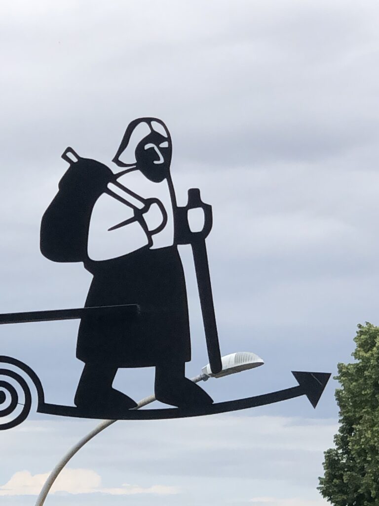
On the Via Francigena- Lucca to Bolsena
October 2019- Updated 2025
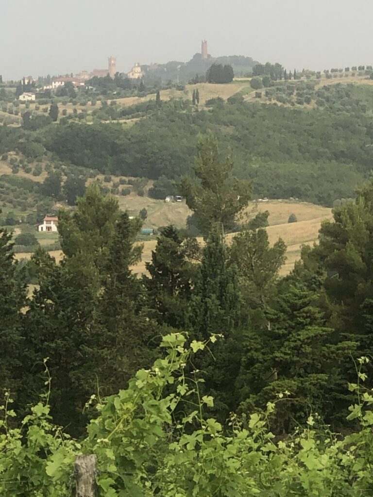
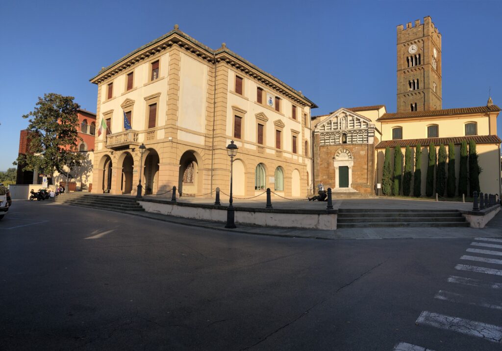
The first time I visited Tuscany I thought to myself “this is a place I could return to many times without feeling as if I’ve had the same experience twice.” I’ve now completed my third trip to the region and I still feel the same way. Every town, every road and trail, every season brings with it a completely unique view of the countryside, customs, and people, always as fresh and as intense as the first visit. My first trip to Tuscany was to Florence on business. I loved the city and knew instantly I’d be back to visit someday without the baggage of a business trip to worry about. Several years later, I had the opportunity to spend 4 or 5 days in the region while traveling from the Amalfi Coast to Florence on a family vacation. An amazing visit but way to short. In the fall of 2019, I took a month meandering through Italy initially by train, spending a couple of days in both Lucca and Siena with a day in between hiking the countryside.
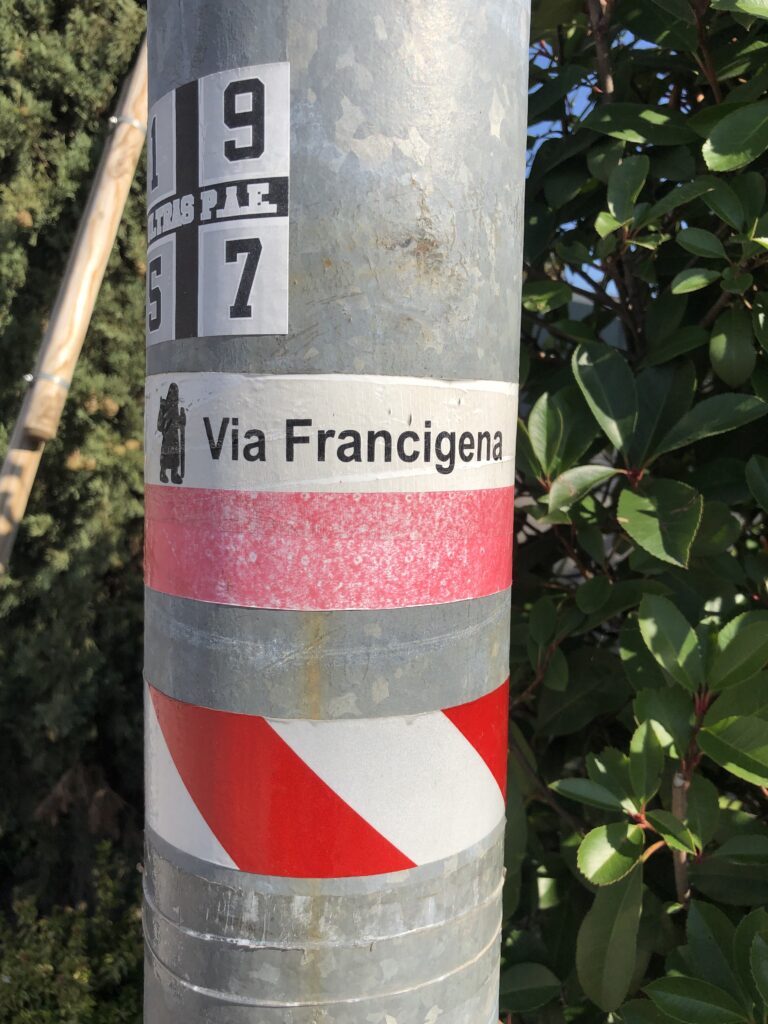
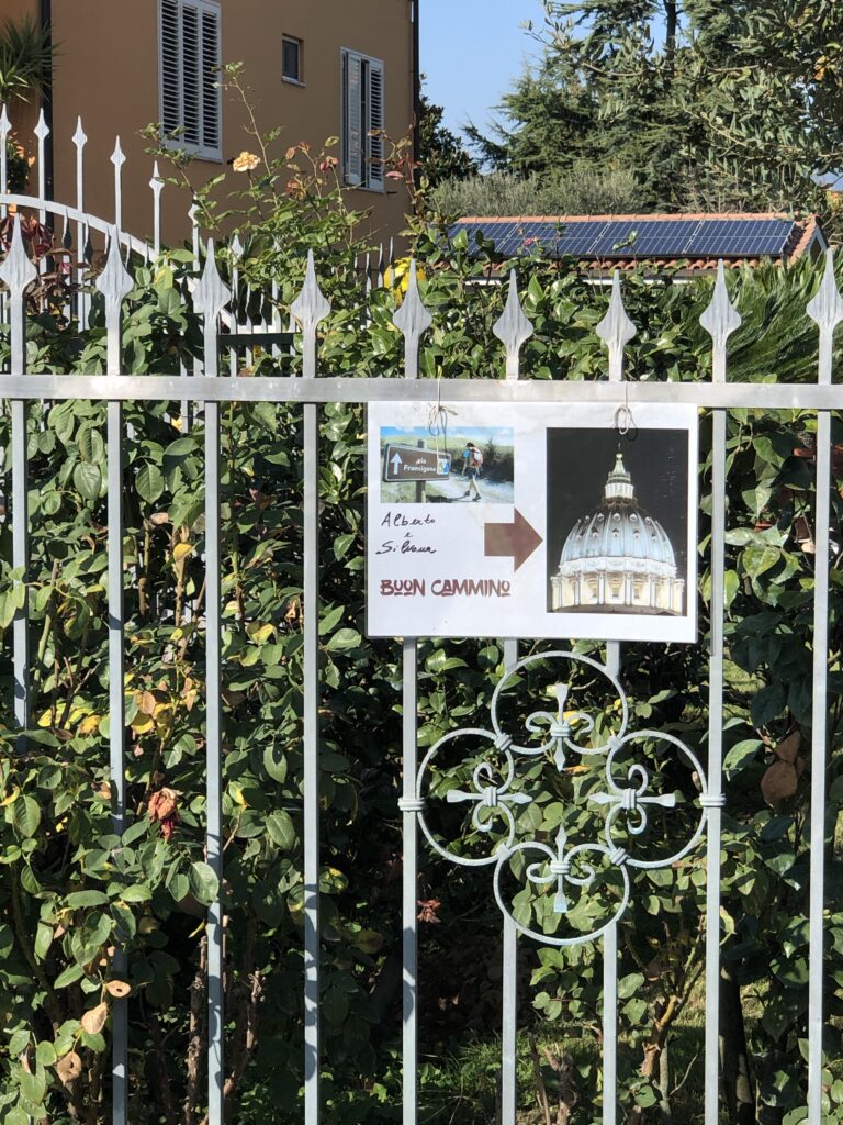
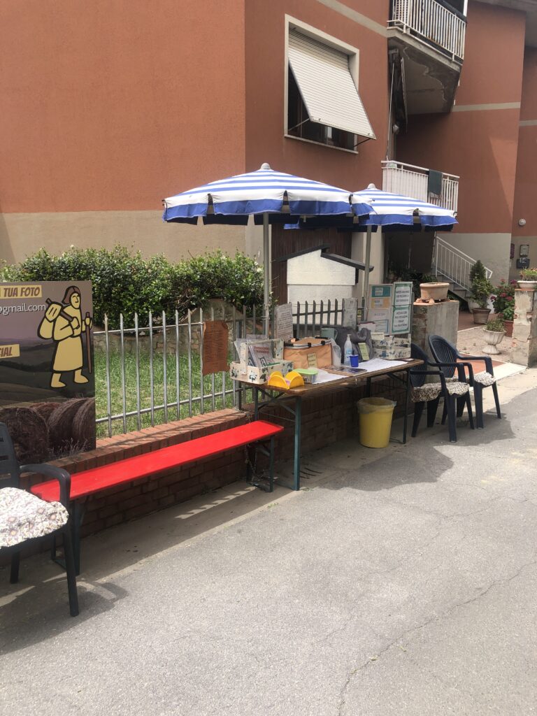
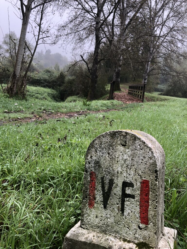
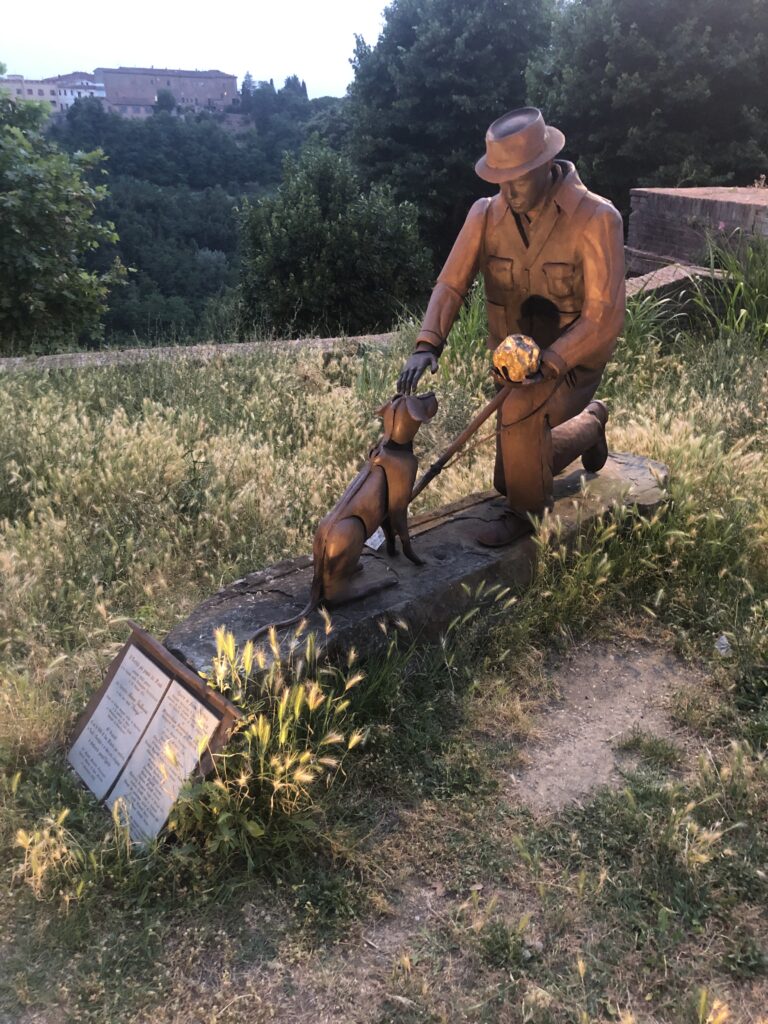
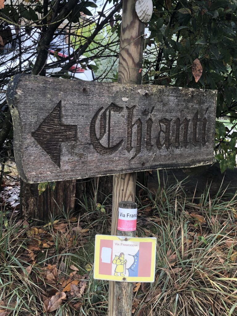
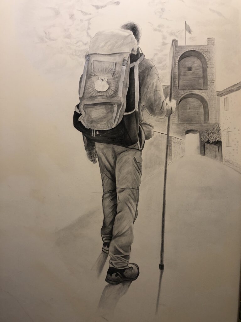
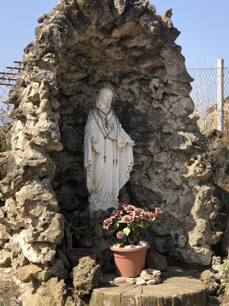
Thought about renting a car and driving through Tuscany until I stumbled across the Via Francigena Pilgrim Trail. While walking through the walled city, I saw a sign advertising the Via Francigena Museum and decided to visit. What I found surprised me. It turns out the Via Francigena is a pilgrim trail which begins in Canterbury England and traverses through France, Switzerland and Italy on the way to Rome. Sigerico, Bishop of Canterbury, documented the trail in his writings over a thousand years ago and much of the trail still exists in one form or another to this day. The more I read about the trail, the more I realized it passed through the heart of Tuscany and connected many of the iconic Tuscan towns in quite manageable stages for hiking. I learned from the Museum Attendant that a “Pilgrim Passport” was available for purchase for 5 euro giving backpackers and pilgrims discounts at restaurants and also access to bunks and hostels run both privately and through the church. There is also an app available for iPhone and Android which contains information on pilgrim accommodation and GPS tracking for the trail (find information at viafrancigena.org). I purchased a Pilgrim Passport and decided then and there to bag the car and hit the trail figuring I could always reassess in a few days if I felt the trail was limiting, unsafe, or physically too hard to enjoy. After the first day of hiking the thought of leaving the trail for a rental car never crossed my mind.
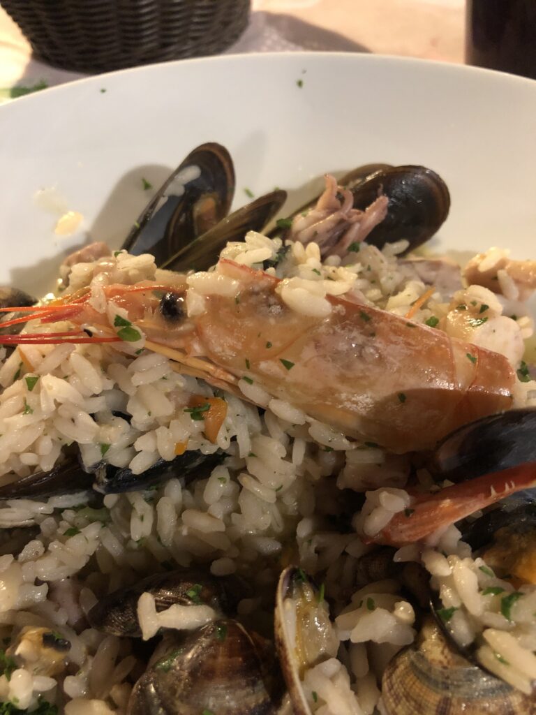
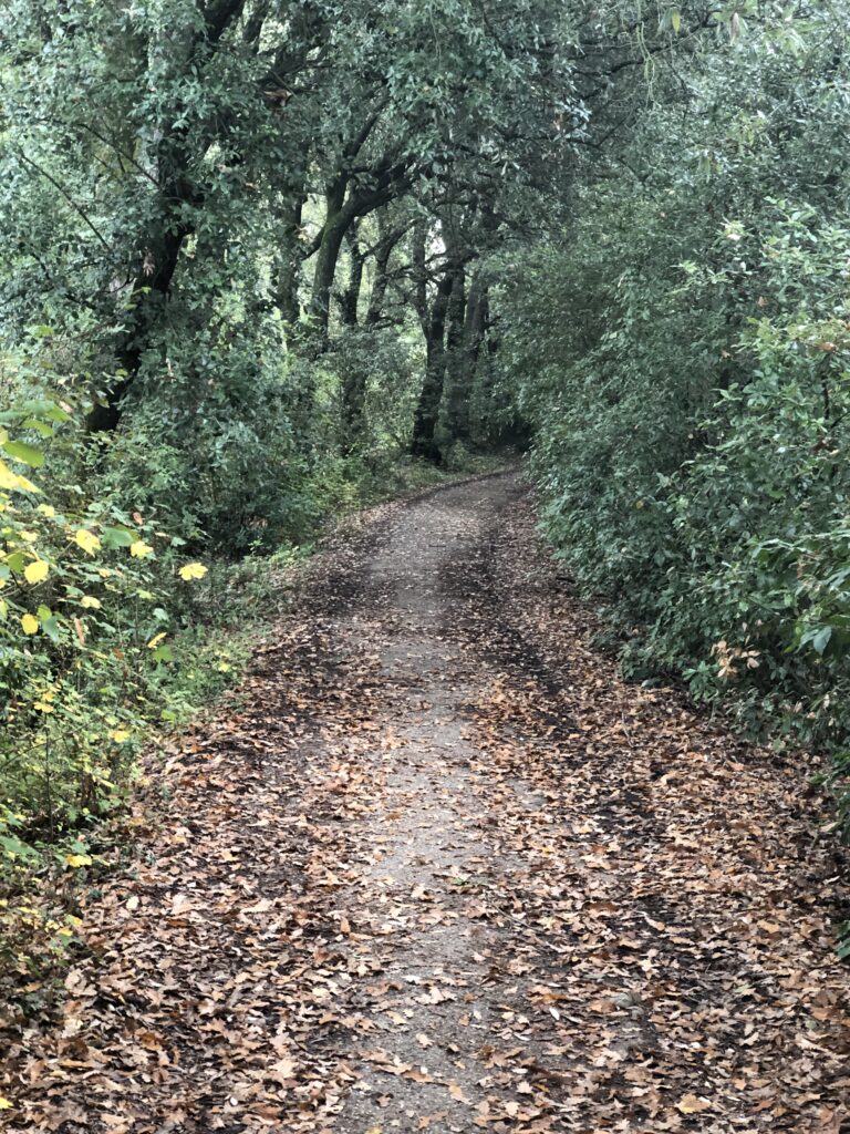
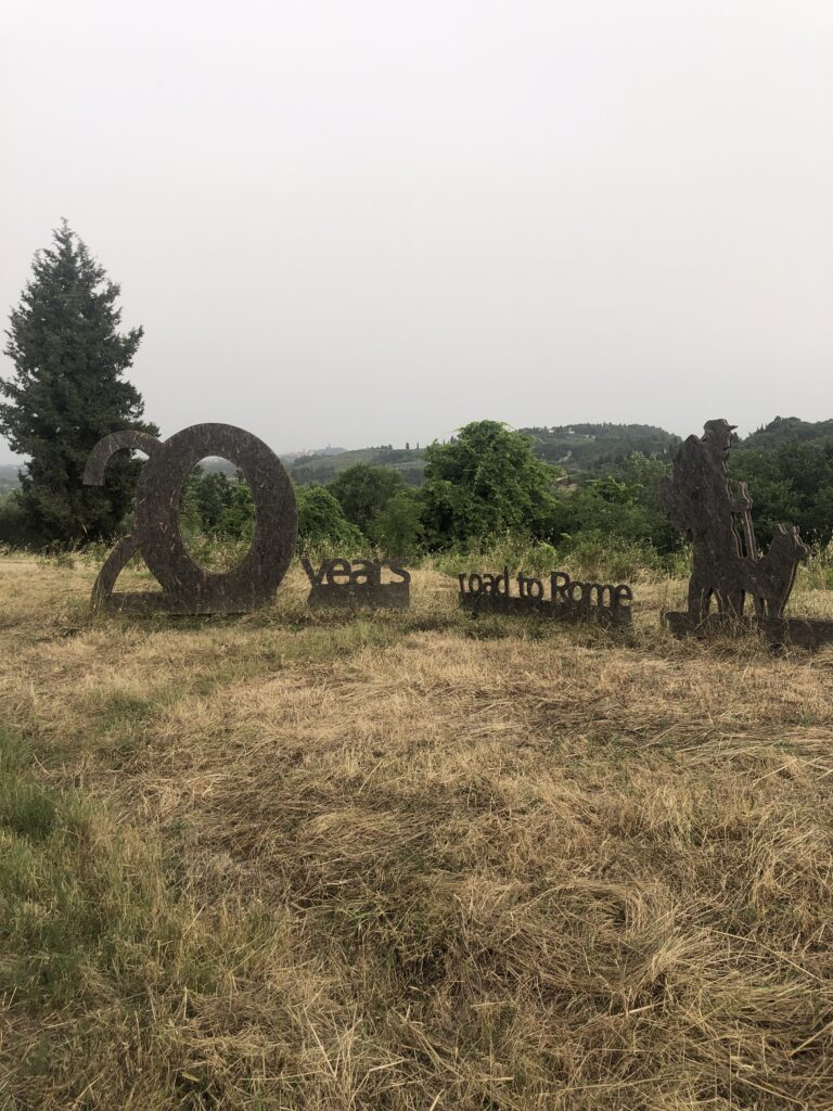
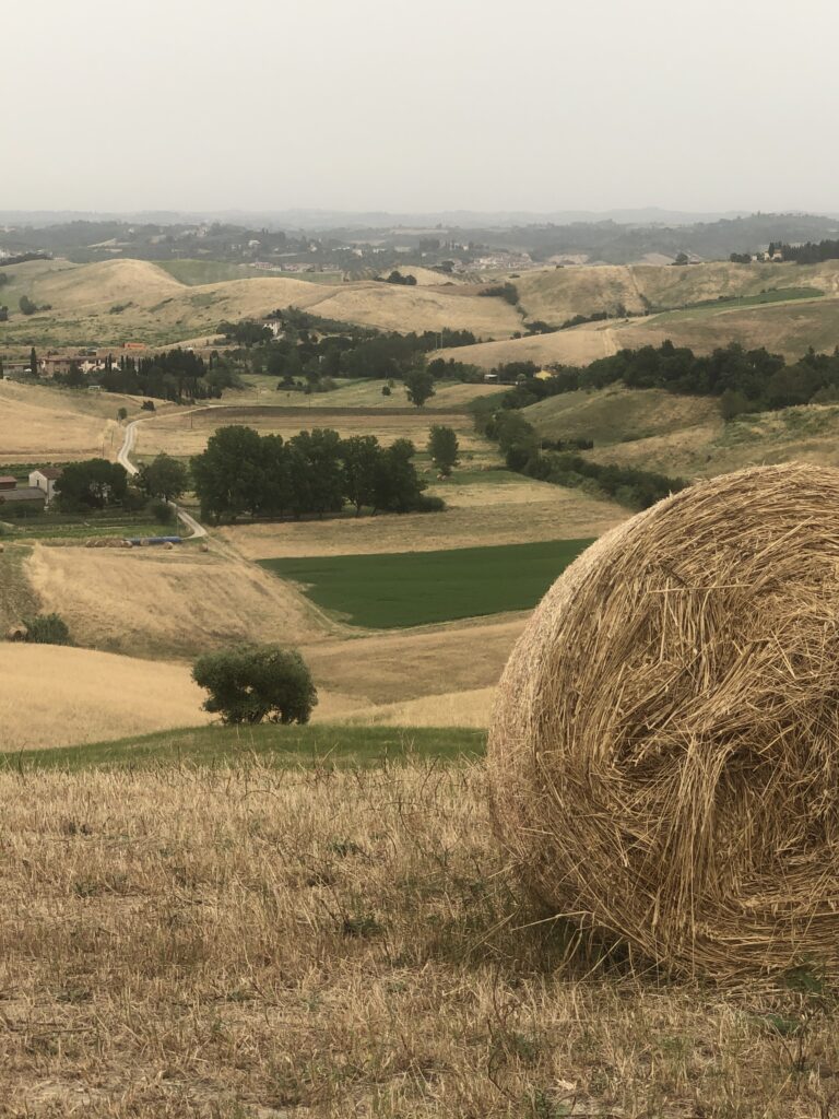
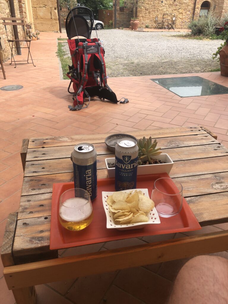
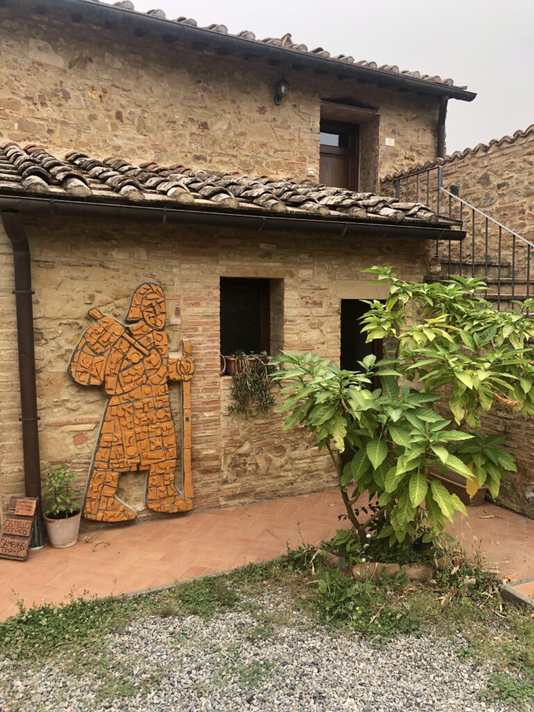
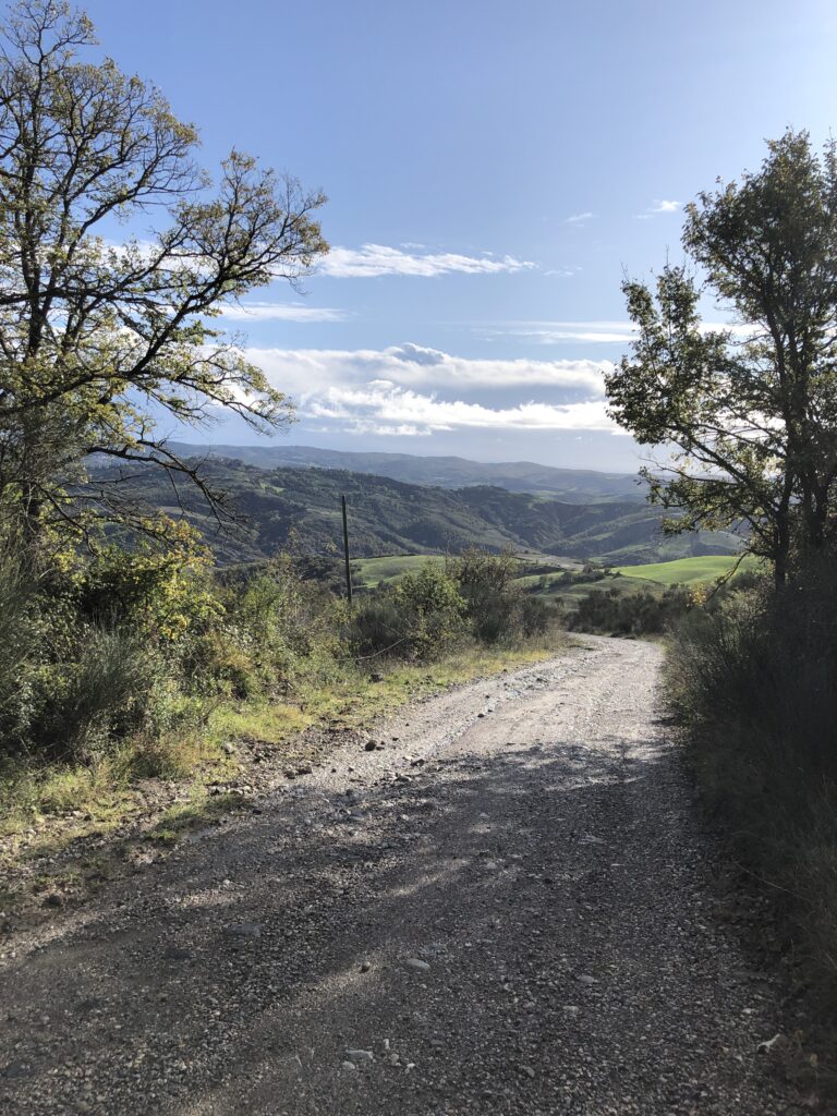
I spent two weeks completing 11 trail stages between Lucca and Lake Bolsena in 2019. Loved it so much I returned in 2024 with a friend and spent a month hiking all 17 of the sections from Lucca to Rome (stages 28 to 45 if using the Via Francigena App). Below you’ll find a description of the 17 trail stages I completed from Lucca to Rome. I cannot imagine a better way to see Tuscany. Though at times you find yourself on paved road (even some highways of sorts), for the most part you are in the countryside and the views and scenery are stunning. In the evenings, you find yourself in picturesque towns and villages enjoying a cold beer or some of the best Tuscan wines and cuisine available. I primarily stayed in Guesthouse/Bed and Breakfast type accommodations but also stayed in several church accommodations run by the local clergy, a great experience that you should try once or twice. I found the church hostels clean, convenient, and incredibly affordable with he room/bunk charge usually just a 5 euro donation. I visited Tuscany in October and had no trouble finding accommodation without a reservation. For church accommodations, it’s best to call ahead the day before arrival.


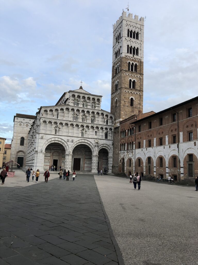
Day 1 Lucca to Altopascio (Stage 28 on the VF App, 11miles 4/5 hrs)
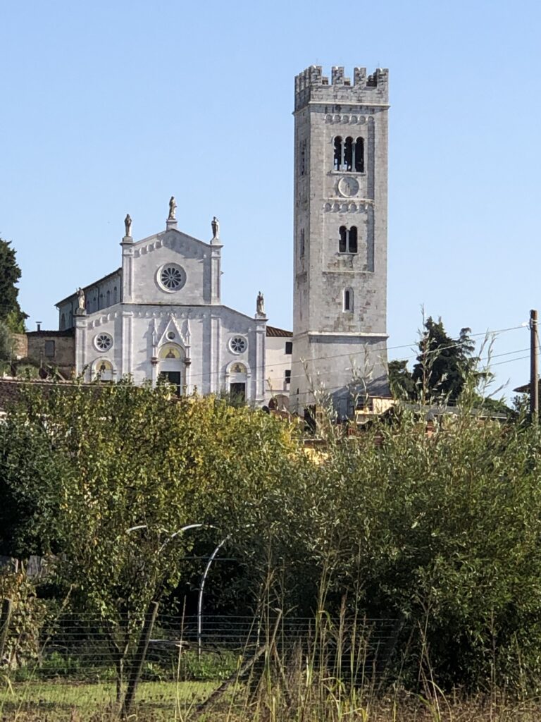
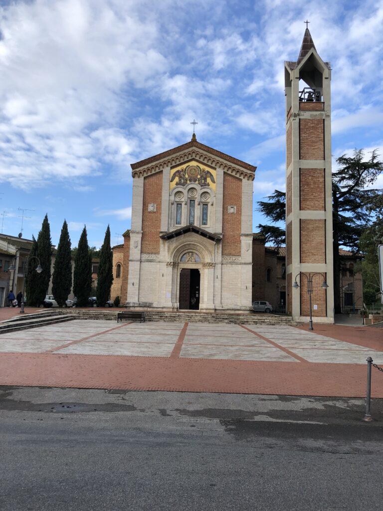
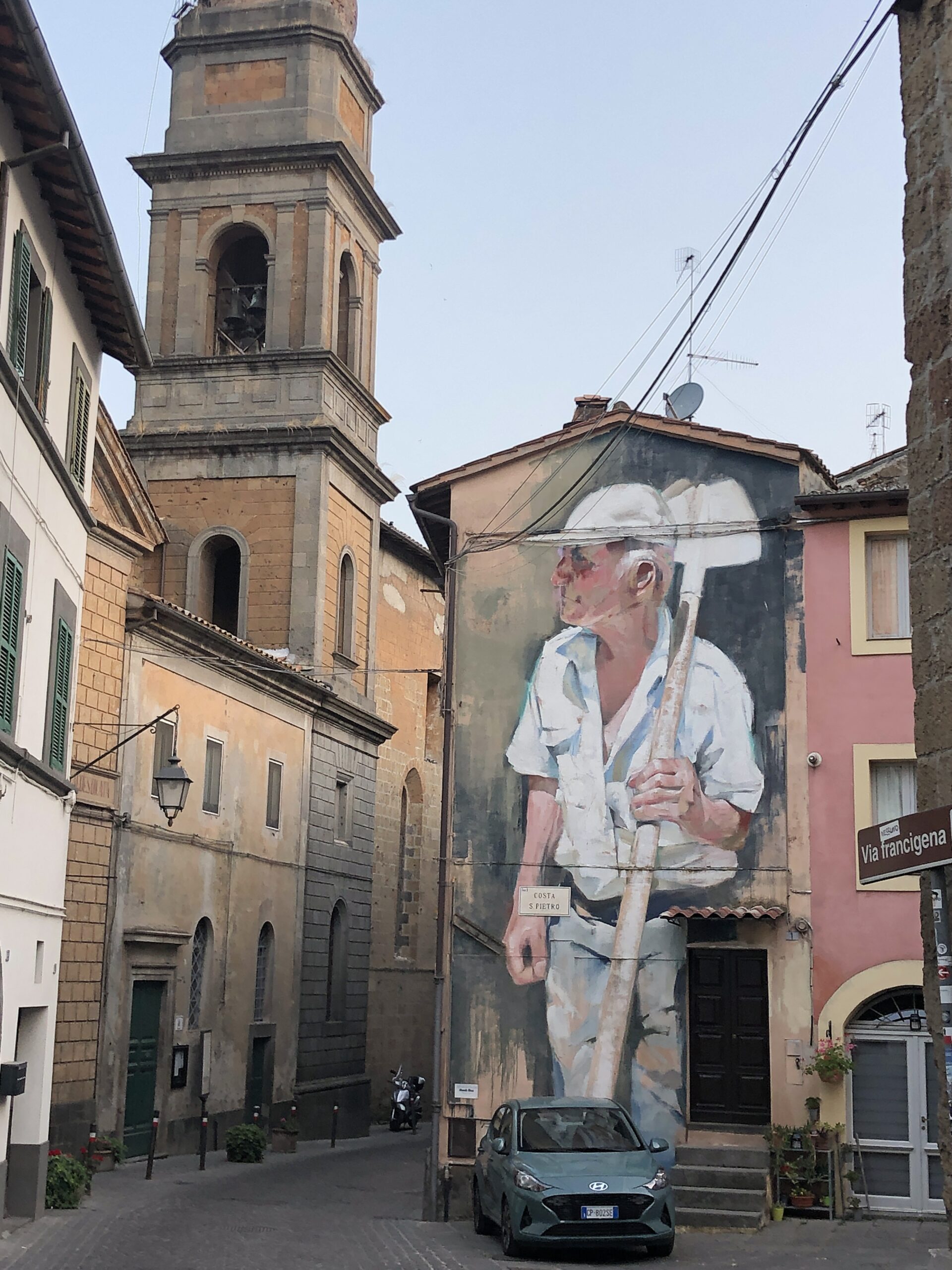
An easy walk through mostly urban areas. Many of those not hiking the Via Francigena on a true pilgrimage choose to skip this stage by taking the train to Altopascio before beginning the hike. As for me, I enjoyed the walk out of Lucca and through the small towns and villages on the way to Altopascio. Highlights were the Church of San Quirico in Capannori, the Church of Santa Maria in Pocari, and the Church of San Piero in Campo. Once in Altopascio, the Church of San Jacopo is worth a visit before grabbing a beer/wine and some pizza at Pizzeria La Cicaladi Antonio Falivena for dinner.
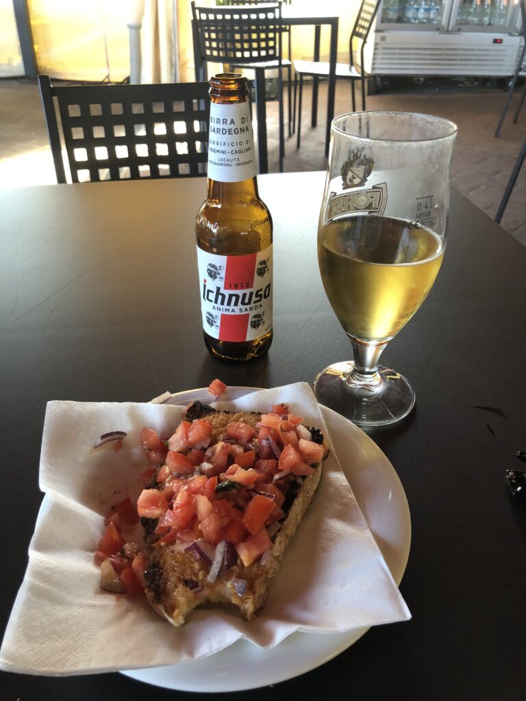
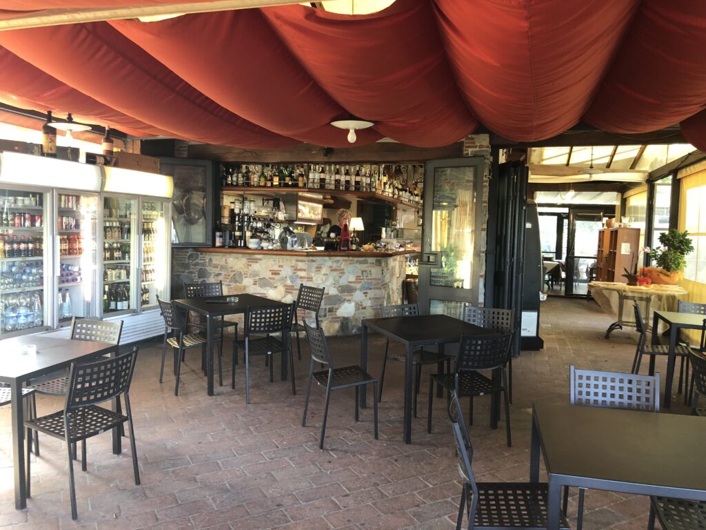
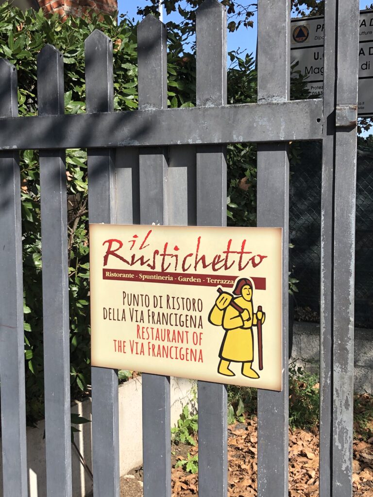
The hike to Altopascio is easy and takes a half a day at most. Rather than getting an early start, consider spending an extra morning in Lucca before heading out. You’ll still have plenty of time for the leisurely hike to Altopascio prior to dinner. If you leave late morning, you’ll pass the restaurant Il Rustichetto, which offers cold beer and a killer fresh bruschetta in a pleasant setting approximately 90 minutes into your hike and just before Capannori. Ensure you have a full water bottle for the second half of the hike as opportunities to purchase water are limited. For beer lovers a late afternoon stop at Topta, a microbrewery located at via Romana 169 just before reaching Altopascio is a must stop. We split a room at Cavalieri del Tau for $70 ($35 apiece) which was more than adequate.
Day 2 Altopascio to San Miniato (18 miles, 7 hrs Stage 29 on the VF App)
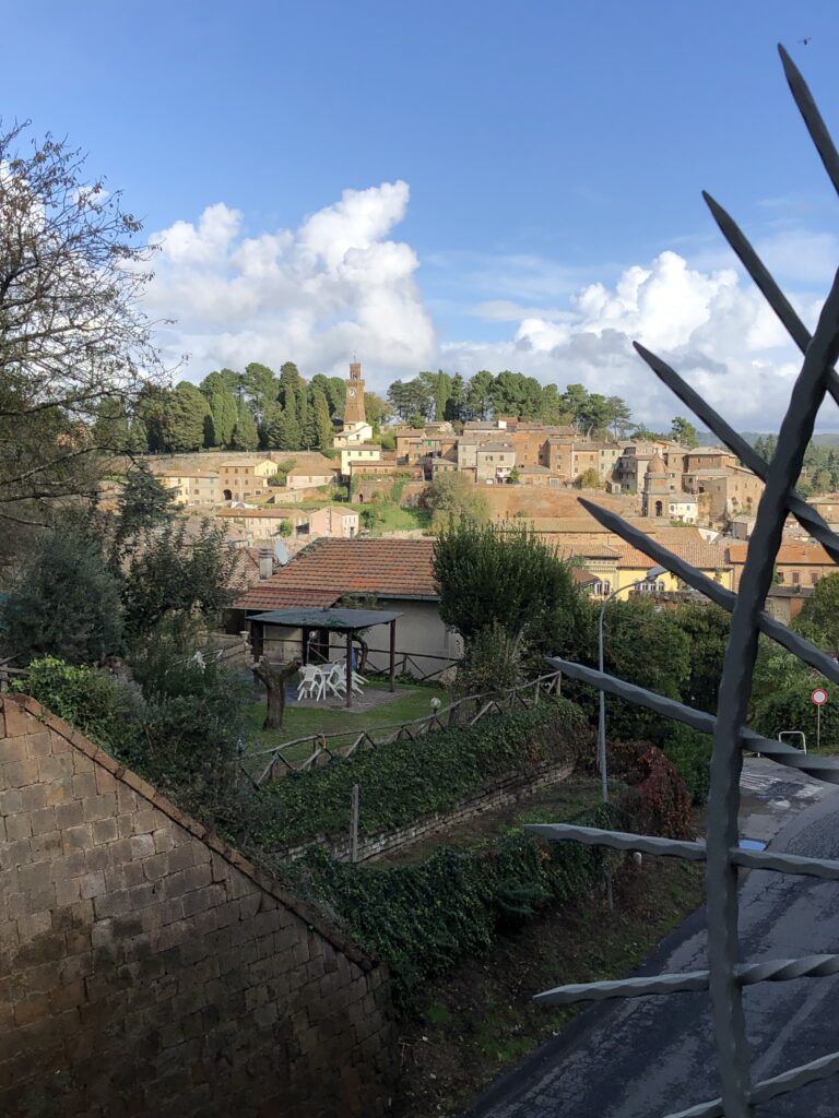
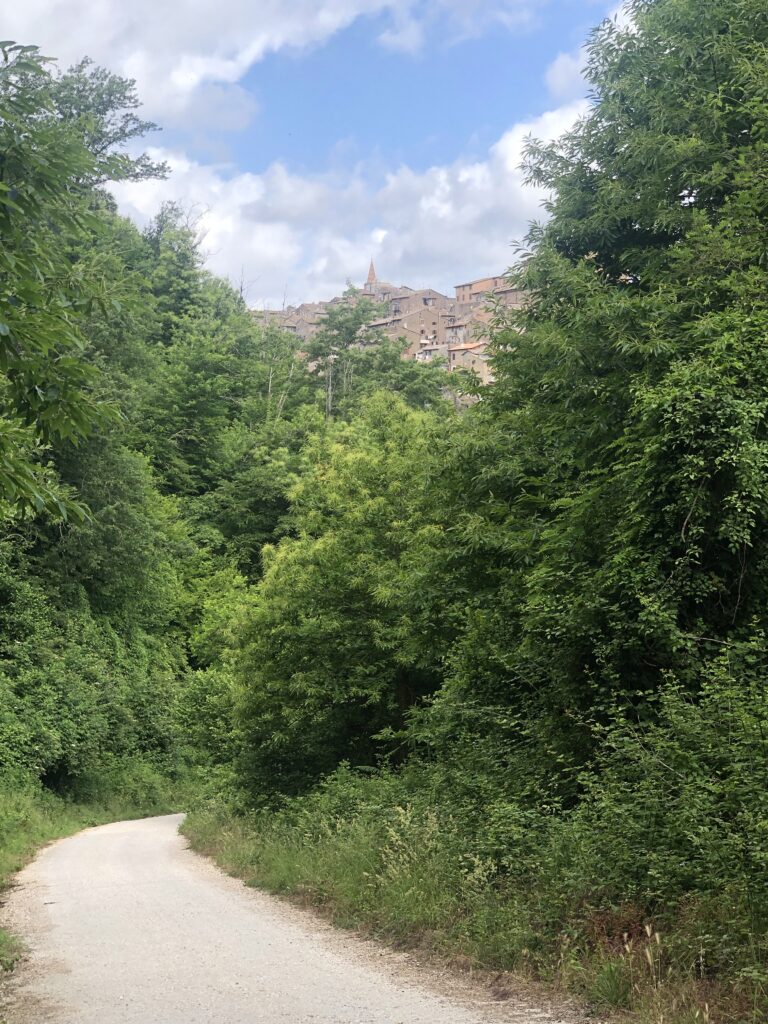
The walk is mostly in a valley and will take approximately 7 hours. This offers another great opportunity to sleep in, or to get up early and watch the sunrise in Altopascio, before heading to San Miniato. A mid morning departure will still have you in San Miniato by late afternoon even with a leisurely hiking pace. When leaving Altopascio, you’ll be walking on what’s reported to be the original dirt road of the Via Francigena, through Fucecchio and the hills of Cerbaie. Stop into the Abbey of San Salvatore in Fucecchio and also visit Castlefranco di Sotto. The Colligiate Church of San Pietro and San Paulo is a main attraction, and time permitting, the churches of San Matteo and La Badia are also worth a visit. In addition, there is a fine archeological site in the center of town. Cross the River Arno and head into the picturesque fortress city of San Miniato. Located atop a hill, San Miniato is known for its unique historical significance as well as its precious white truffles. Must sees include the Piazza del Popolo, church of San Domenico, Piazza del Duomo, and Torre de Matilda (Matilda’s Tower). Also known for its culinary delights, San Miniato is a great stop for the foodies among us. A moderately challenging day with the hardest part being the climb up the hill to San Miniato.
Day 3 San Miniato to Gambassi Terme (15 mi/6 hrs Stage 30 on the VF App)
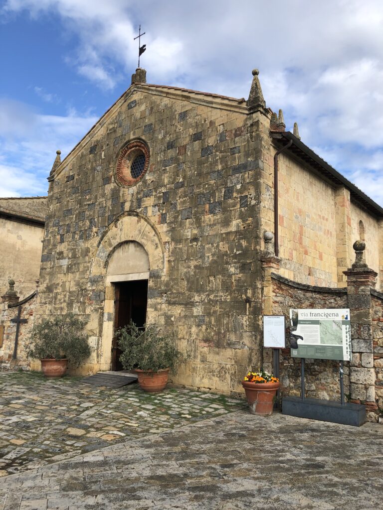
Though a shorter hike at 24 km, it’s rated as “hard” most likely due to an increase in hills. Still, it is not very difficult and there is no need for urgency on the hike. The departure from San Miniato is mostly on paved road but within an hour or so you’ll be on footpaths through the beautiful rolling hills of Val de Elsa. Passing through Castelfiorentino, make sure to stop in the Benozzo Golloli Museum, home of the religiously significant Tabernacle of Madonna della Tosse and the Tabernacle della Visitazione. On the hike to Gambassi Terme you pass through the small town of Montaione, home of the Civic Museum which is a worthwhile place to take a break. This section was one of my favorites as the rolling hills are beautiful and the Ostello Sigerico was a wonderful place to stay and highly recommended.

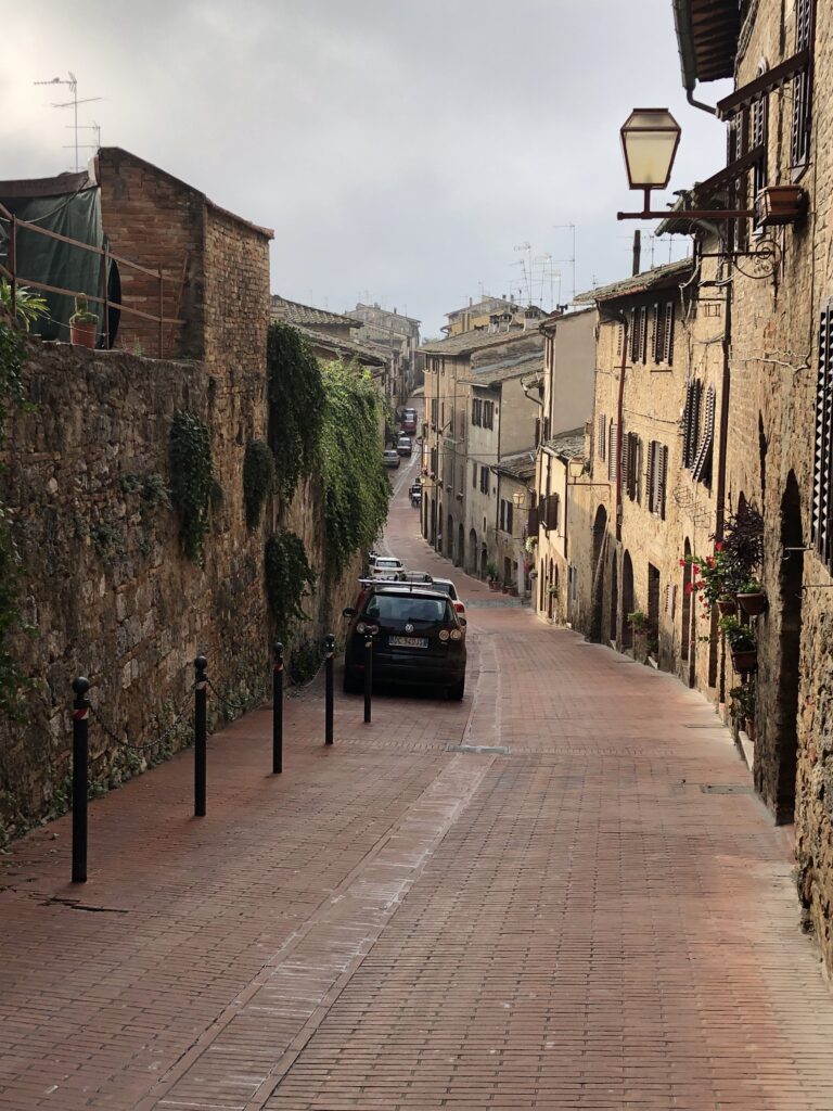
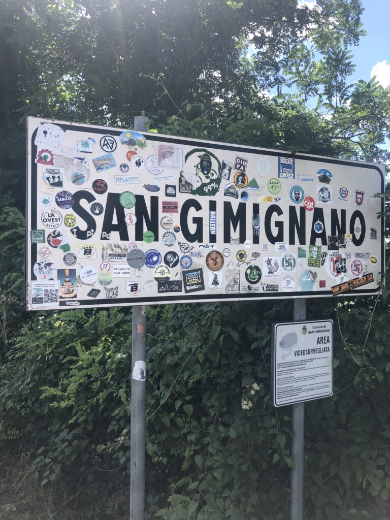
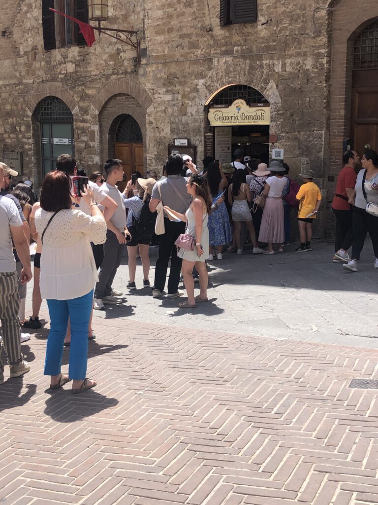
Day 4 Gambassi Terme to San Gimignano (8.5 miles 3hrs Stage 31 on the VF App)
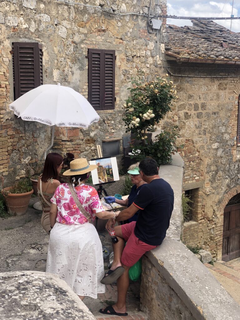
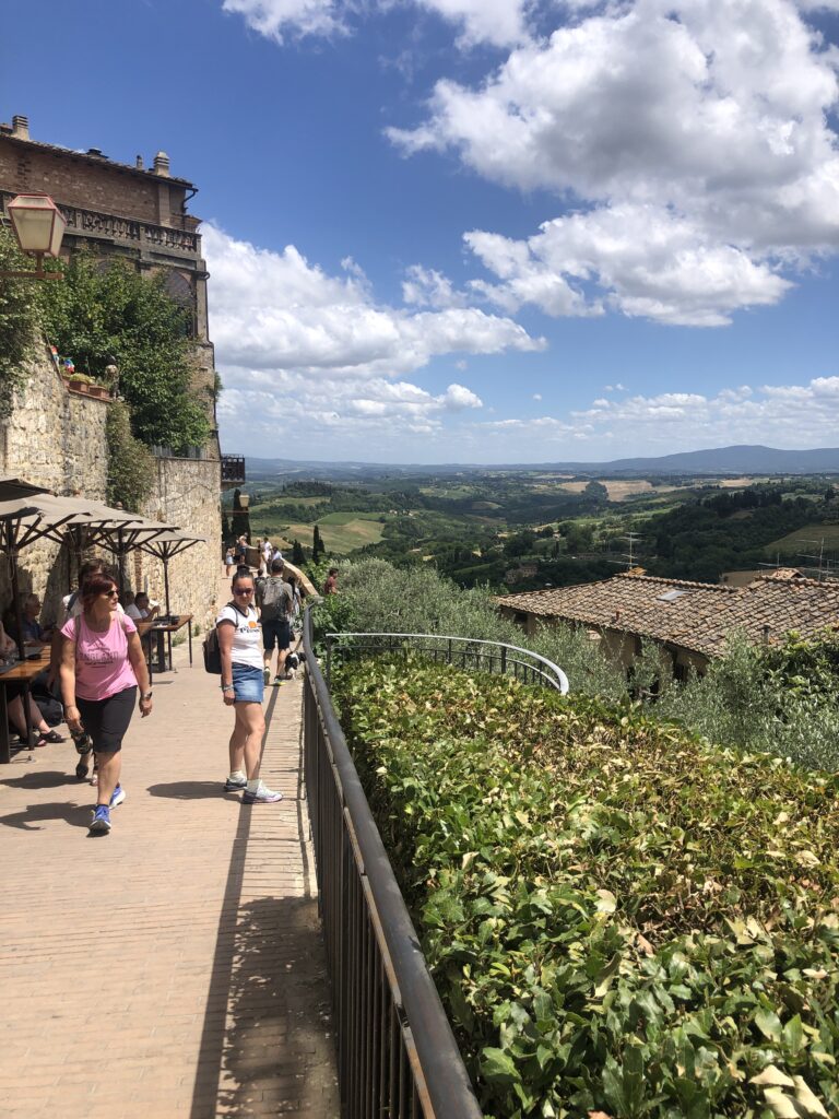
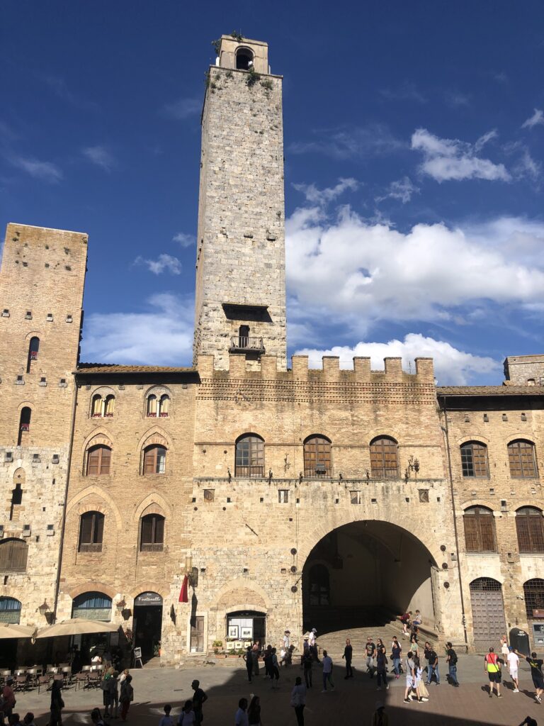
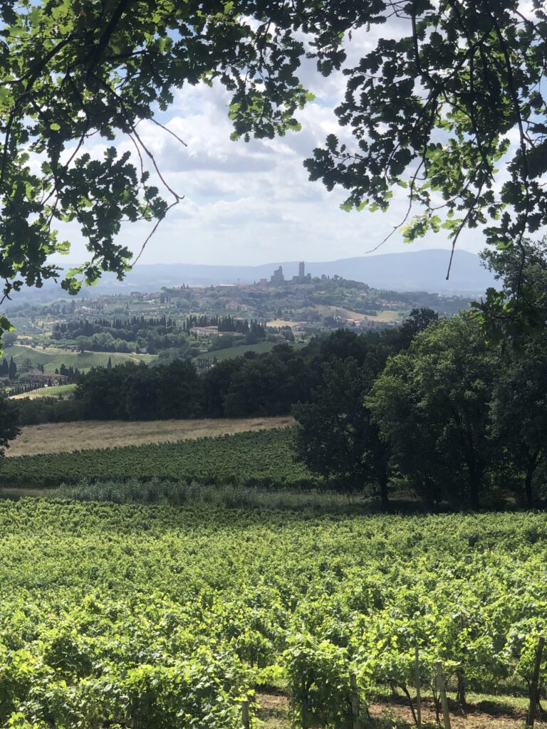
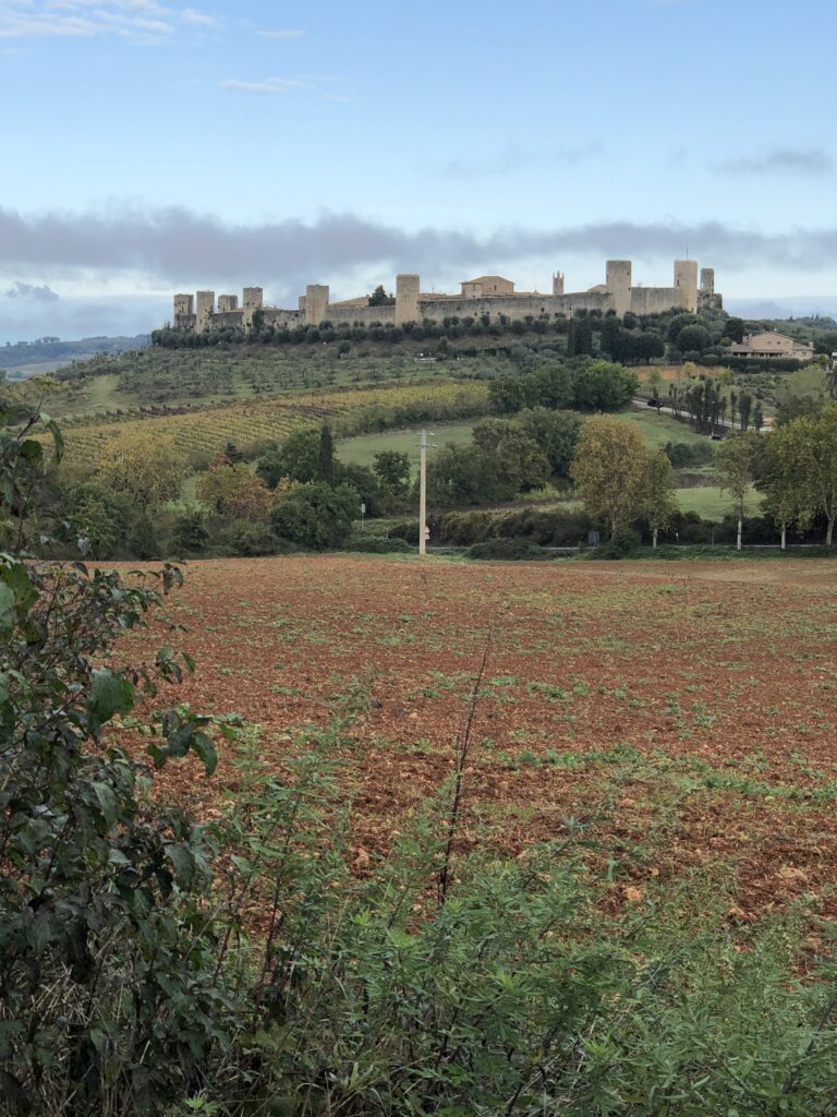
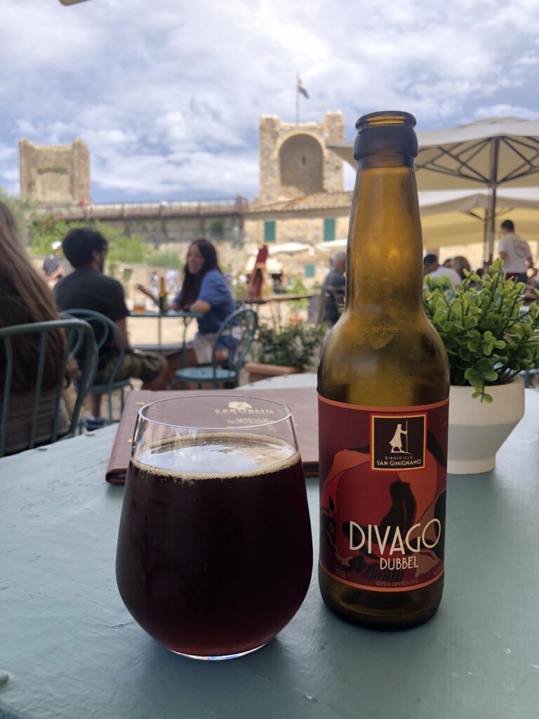
By far the shortest leg of this itinerary, the hike from Gambassi Terme to San Gimignano is quite relaxing. The hike is dominated by the hills and ridges of the Val de Elsa and the route is dotted by unique looking structures. San Gimignano is a very popular tourist destination and a great place to spend an afternoon exploring the 15 towers within the city while watching the tourists pour out of buses. The approach to San Gimignano offers fantastic picture opportunities. Also known for Vernaccia Wine, San Gimignano is a great spot to enjoy an afternoon wine or beer after a solid day of hiking and sightseeing. Though not a big town, if you’re not on time constraints and need of a break from the hiking, San Gimignano would be a great choice. We stayed at a place called “Contemporary Rooms” found on Booking.com for $87.17 for two beds. Well worth it especially when splitting the cost.
Day 5 San Gimignano to Monteriggioni (19 miles 7/8 hrs Stage 32 on the VF App)
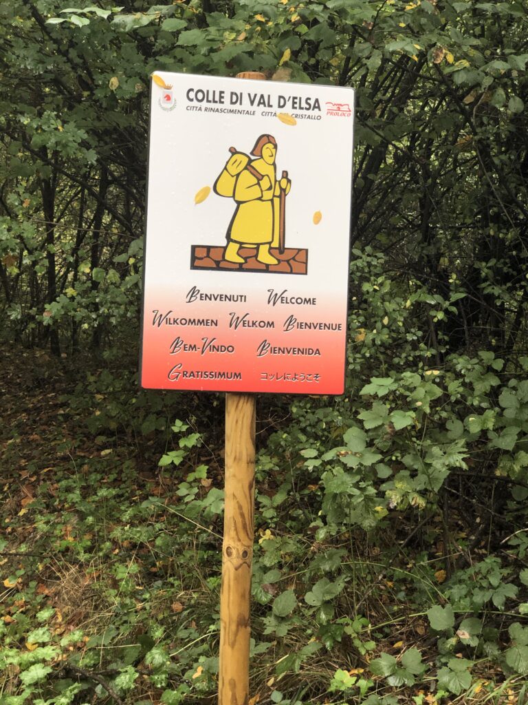
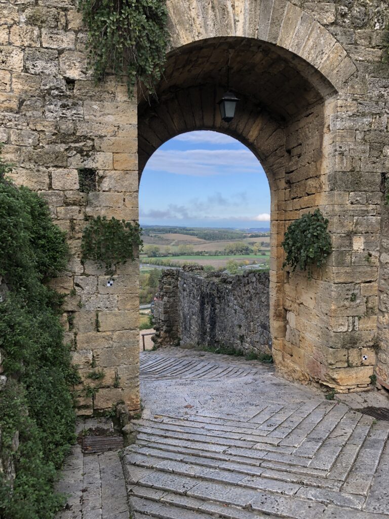
One of the best and most challenging sections on the route from Lucca to Bolsena, you will pass through one of the most beautiful sections of Tuscany. Make sure to look back on San Gimignano as you hike out of town for some picturesque views of the town. The section is about 19 miles and takes 7-8 hours to complete. Approximately 7 miles from San Gimignano you will come to Colle Val de’Elsa, a medieval town with a mixture of ancient and modern architecture. A nice spot for lunch and to take a quick look around, be sure to take in the Conservatory of St Peter and the Convent of St Francis. Both are located in the upper town (Colle Alta) along with the Piazza Bajos where you will see ancient homes along with older palatial buildings of significance. The next 12 miles make for a very pleasant hike ending with Monteriggioni and its splendid castle. Great section. Lodging was Casa per ferie Santa Maria Assunta. Great place when hiking the VF. Inexpensive with restaurants in the immediate area right outside the accommodation.
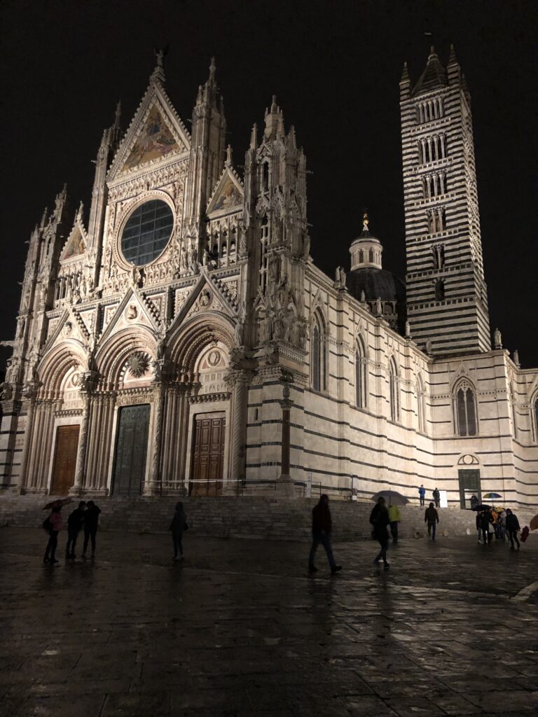
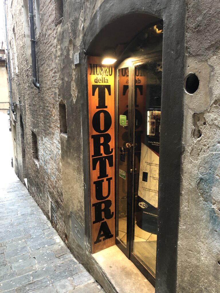
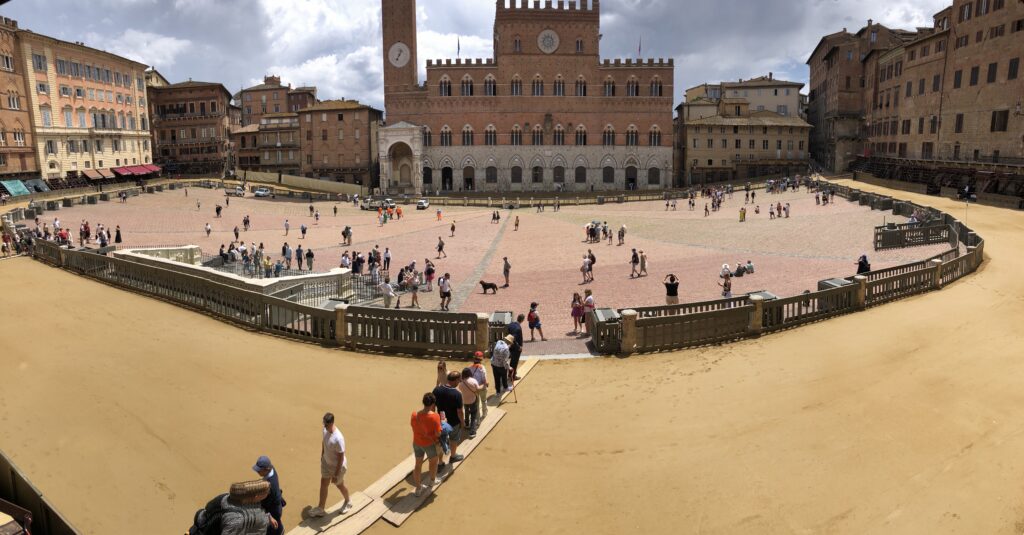
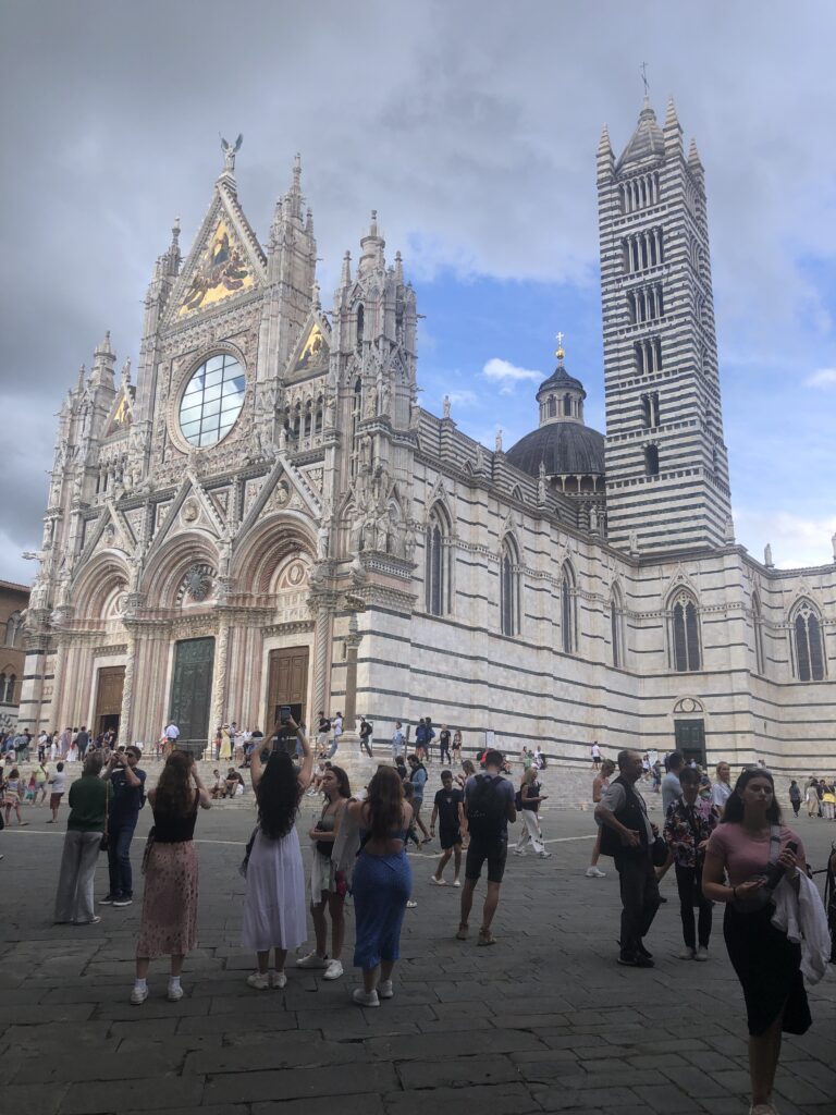
Day 6 Monteriggioni to Siena (13 miles 5/6hrs Stage 33 on the VF App)
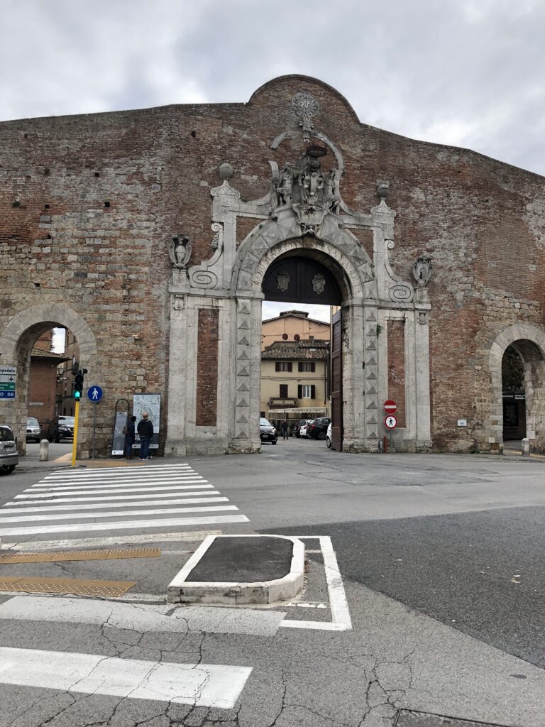
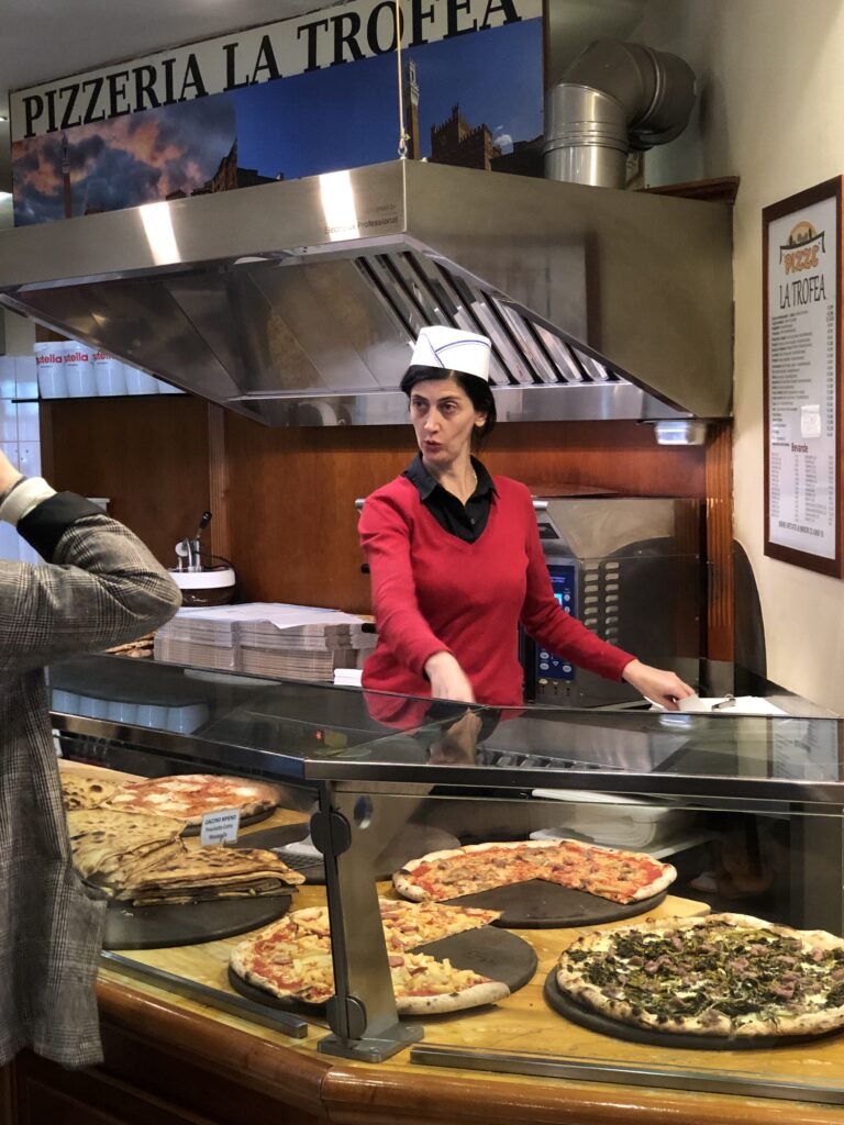
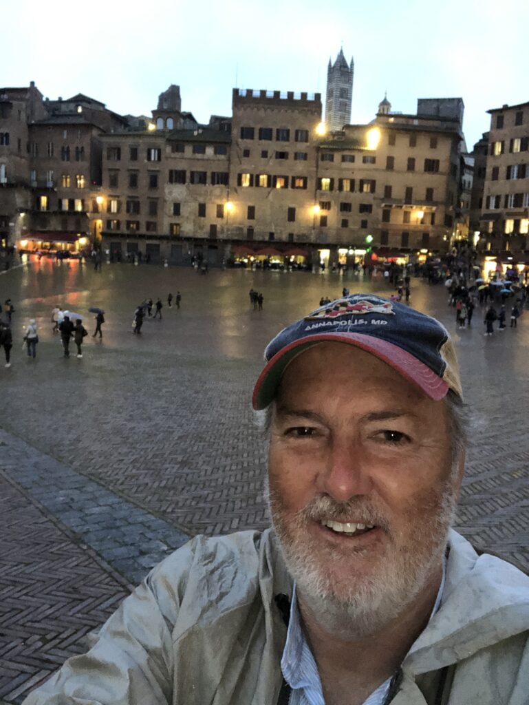
An easy 13 miles (21 km) trek from Monteriggioni to Siena leaves the options of sleeping in, getting up early to explore Monteriggioni, or getting an early start to Siena which is far and away the most interesting stop on this part of the Via Francigena. Best to pack a lunch and carry water on this section as there are not many places to eat along the way. The trail to Siena passes through wooded forest and past the very pretty Castle of Chiocciola. Enter Siena via the traditional entrance of Porta Camollia and make your way to the Piazzo del Campo which twice a year in July and August is transformed into a medieval horse track for the Palio de Siena. There you’ll also find great options for a well deserved beer and a good meal. There are many sites in Siena so if you have the time or need a day off to energize, Siena is the place to take advantage. Be sure to visit the Doumo, Palazzo Pubblico (Palace) and Tower of Mangia, and the Hospital of Santa Maria del Scala (Museum). Have lunch at Bar Il Palio and try the wild boar, for a great view over Piazzo del Campo quaff a brew on the balcony of Sao Paolo bar, or enjoy Siena’s best pizza at Piripi Pizza Urban Food (some good craft beer!) or Pizzeria la Trofea (good, cheap, and centrally located). Found a great deal for a room with 2 beds at B&B Siena In Centro for $185 for 2 nights in late June 2024.
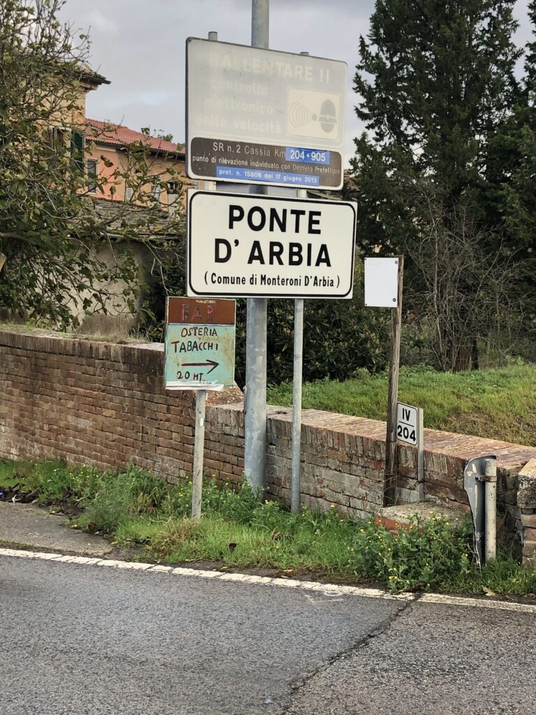
Day 7 Siena to Ponte d’Arbia (16 miles 7hrs Stage 34 on the VF App)
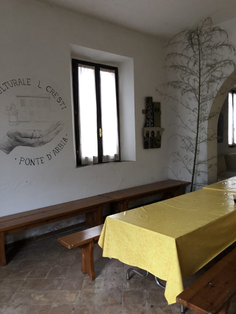
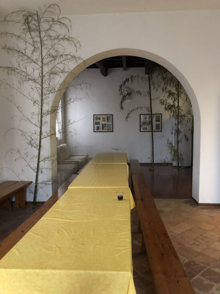
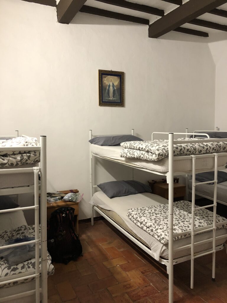
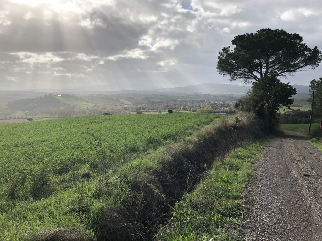
At approximately 16 miles this is one of the longer sections of the trek, and also one of the most varied. At times during this section you’ll find yourself on country roads, dirt paths and trails, and walking along railways. After leaving Siena via the southern gate of Port Romana you pass through a more modern urban area of Siena and make your way through the village Isola d’ Arbia. At this point you’ll begin to be rewarded with rolling hills and green fields, along with interesting sites such as the Grancia di Cuna, an ancient fortified farm (where you can find water). The trekking is easy with many opportunities for pictures of the beautiful landscapes in the foothills of the Crete Senese. Looking back, you can still see nice views of the Siena skyline. Ponte d’ Arbia is a very small village which seemed to consist of a bridge, handful of buildings, and at least one bar where you can find a cold beer and a bite to eat. Call ahead for Pilgram accommodations particularly if you’ve been hiking among a larger group of Pilgrams. I stayed at the Centro Culturale L Christi without issue while traveling in October.
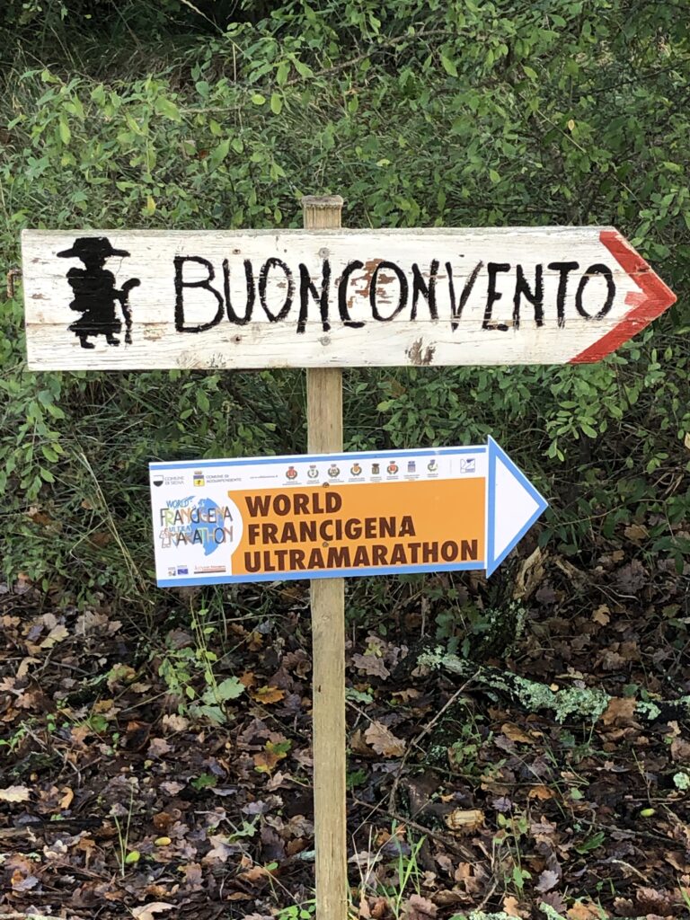
Day 8 Ponte d’Arbia to San Quirico (16 miles 6hrs Stage 35 on the VF App)
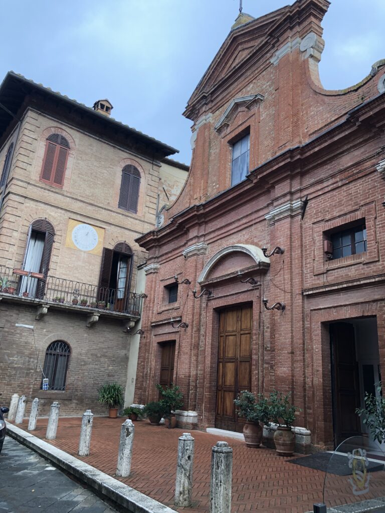
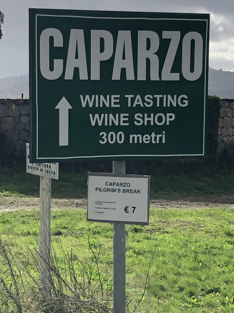
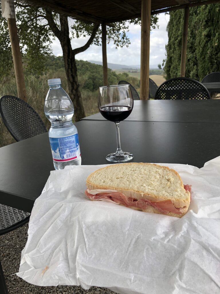
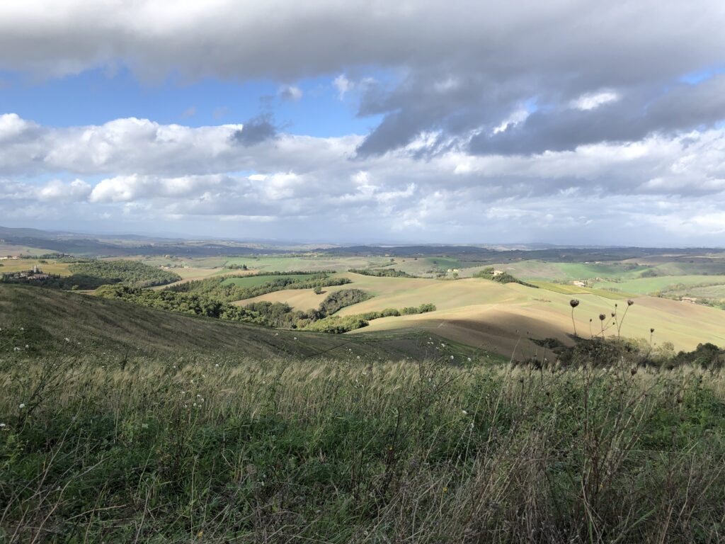
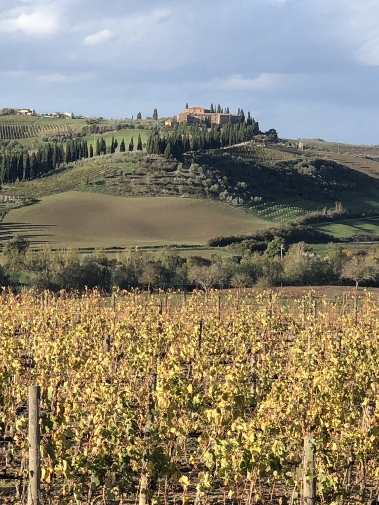
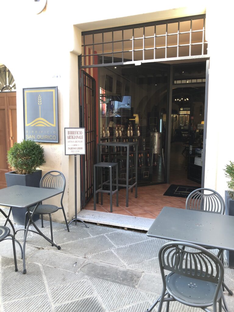
As with the previous section, opportunities for stunning pictures are plentiful as you trek through Bounconvento and the beautiful Val d’ Orcia. The hike itself is moderate with rolling hills, green fields, and vineyards. Hopefully, you experience it on a sunny day as its one of the most pleasant sections of the journey. Located right on the trail, the walled town of Bounconvento is worth strolling through. Spend some time grabbing a late breakfast or lunch and check out the Art Museum at Via Soccini 18 as well as the Chiesa dei Santi Pietro and Paolo (church). You can also visit the Farming Museum located at Piazzale Garibaldi. Via Soccini represents the town center and is where most restaurants and cafe’s can be found. Having a train station, Bounconvento is also a convenient point if you’re planning on terminating your hike early or returning to Siena. Hiking South out of Buonconvento offers some nice views of landscapes and nearby towns. Take an afternoon break at the Winery Carparzo and enjoy the Pilgram Special consisting of a ham sandwich, a glass of wine, and a bottled water for the road! Rolling into San Quirico, make sure to stop at Birrificio San Quirico for a beer and to check out the brewery! The Amber Beer Jelly with Chilli Pepper is fantastic! Stayed at Palazzetto del Pittore while in San Quirico d’Orcia. Cost $81.00 for two beds in June 2024.
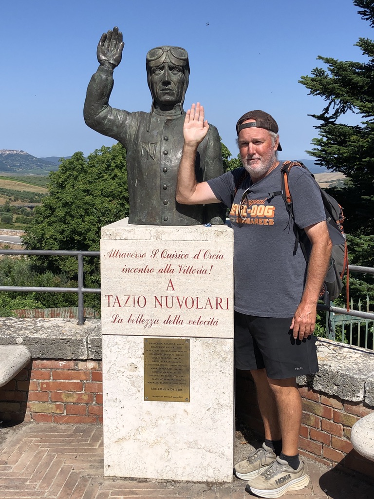
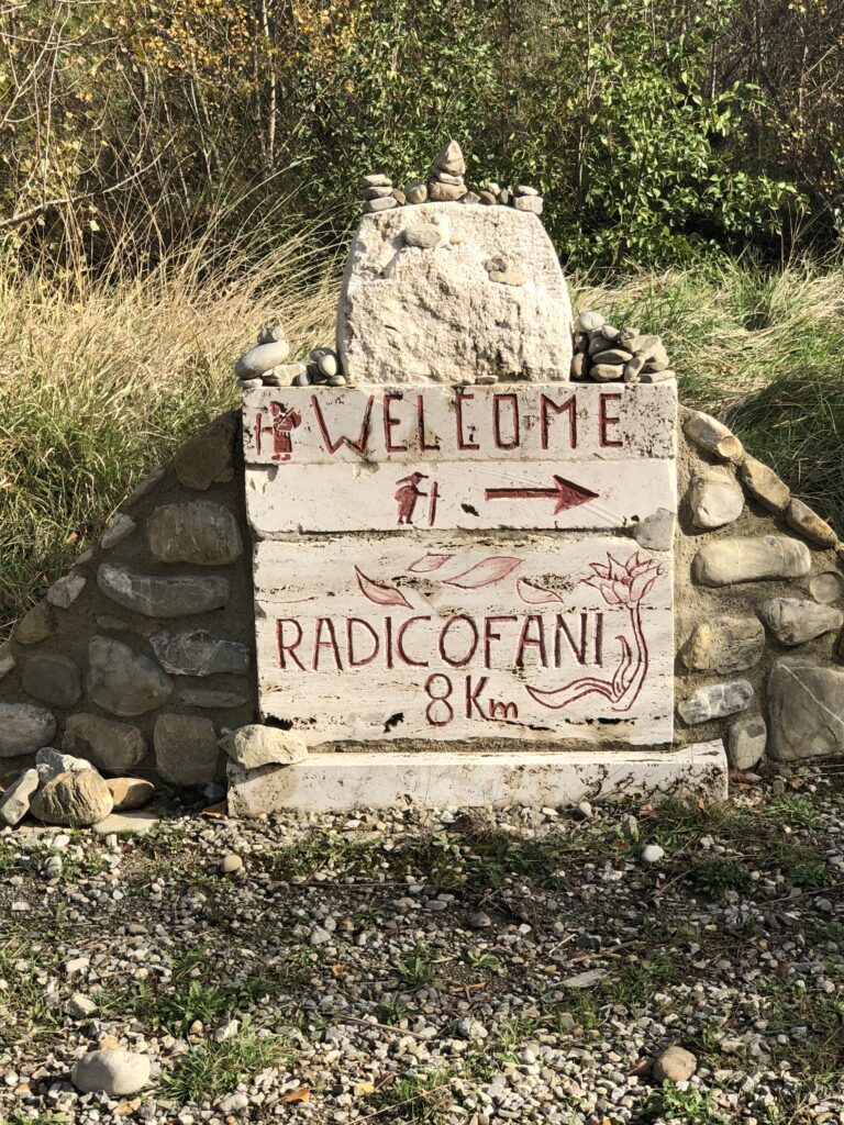
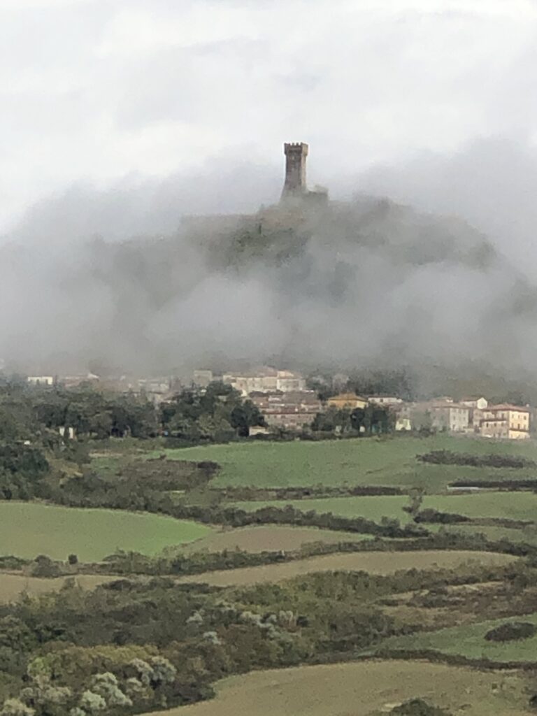
Day 9 San Quirico to Radicofani (20 mi 7/8 hrs Stage 36 on the VF App)
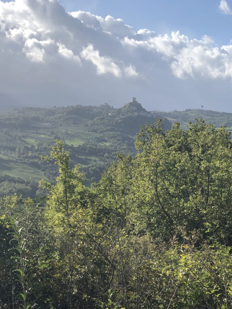
A challenging but epic stage as you leave one of the most photographed towns in Tuscany continuing your journey through Val d’ Orcia, passing the famous town of Bagno Vignoni and it’s thermal baths, and continuing to another of the most photographed towns in Tuscany, Radicofani. The route is 20 mi or a little more than 30 km and the terrain is a bit more hilly than the previous stages but still quite moderate but with a steep climb at the end. For the most part, the hiking continues to be through rolling hills and green fields but now you are following the ancient route to Rome along the Via Cassia. you’ll cross or be near the modern state road SS 2 which follows the path several times. This is the last section of the Via Francigena that is entirely in Tuscany. As there is significant elevation gain particularly as you approach Radicofani, make sure to look back from time to time for some incredible views of the Val d’ Orcia. Once in Radicofani, spend some time exploring the ancient fortress which dominated the view of your approach. At the heart of the village is Piazza S. Pietro and for a better than average and fairly cheap meal try the wine bar AI Tocco located within the Piazza. For a different experience, visit the very quaint Piazzetta del Teatro and try Pane e Companatico for a great Panini. Check out the cool Torre dell’Orologio (clock tower) in the center of town and visit the two churches on either side of town to see the unique wooden statues located in both. And be certain to read up on Ghino di Tacco, an historic figure from the late 1290’s who became known as a gentlemanly pirate, or Robin Hood of sorts, while in town.
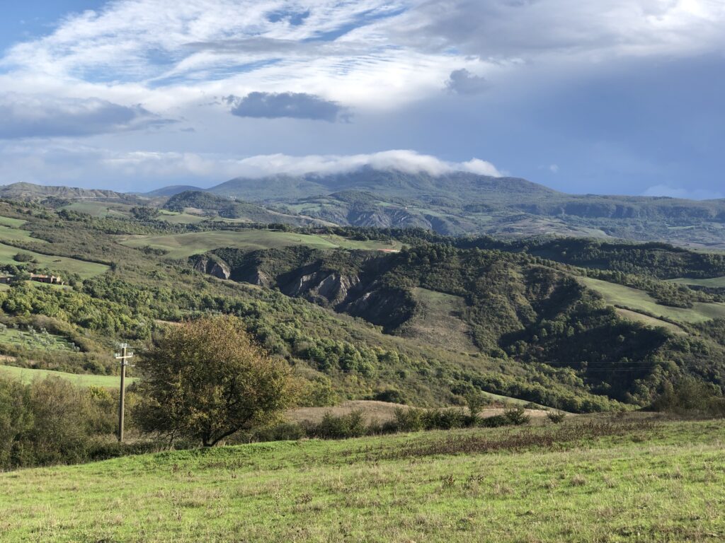
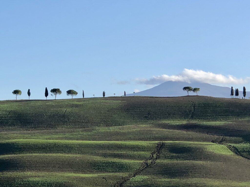
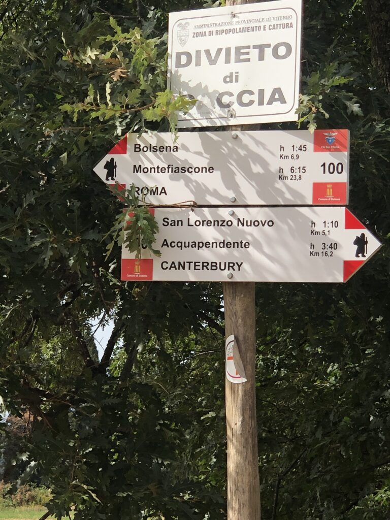
Day 10 Radicofani to Acquapendente (15 mi 6/7 Hrs Stage 37 on VF App)
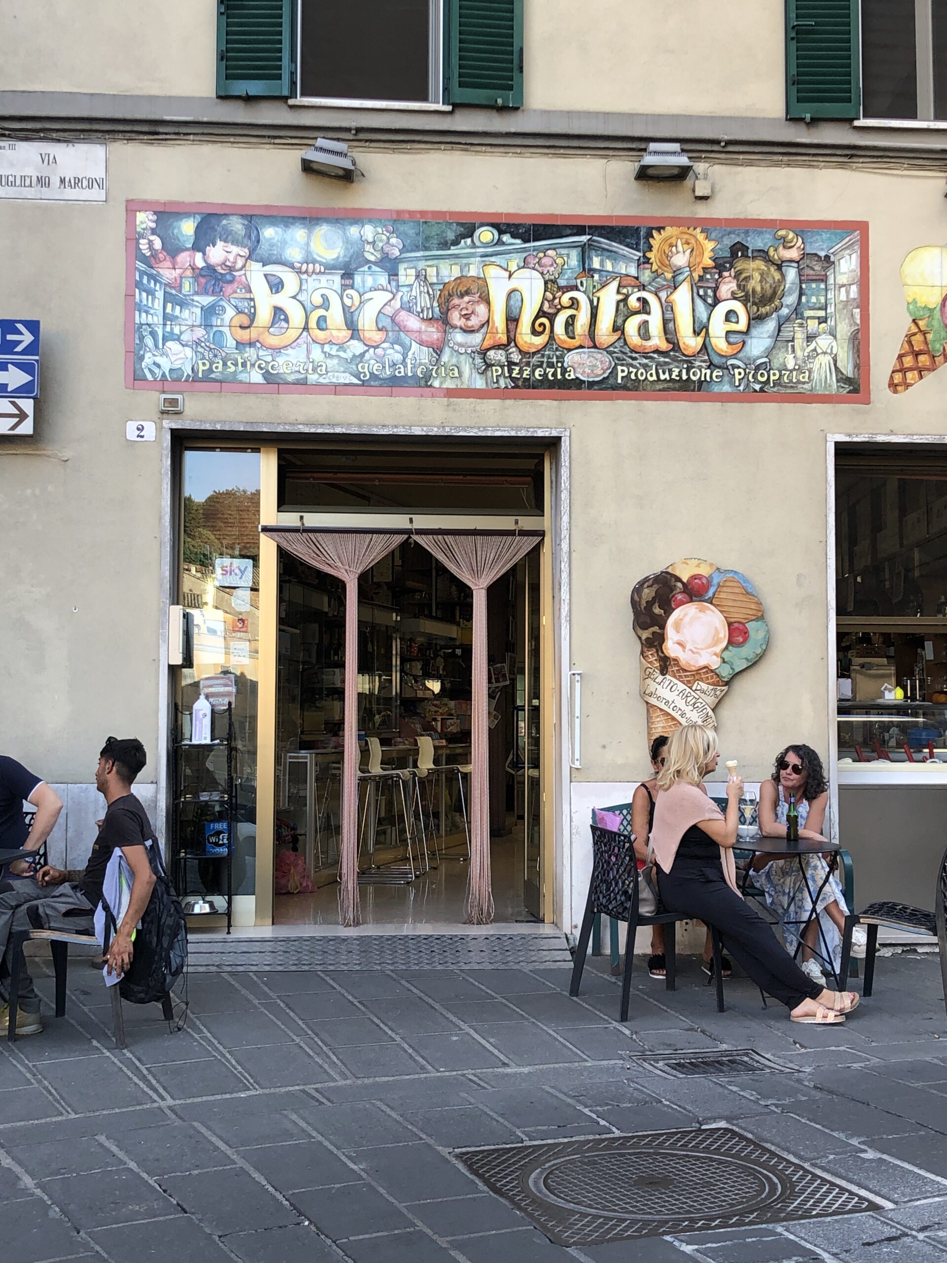
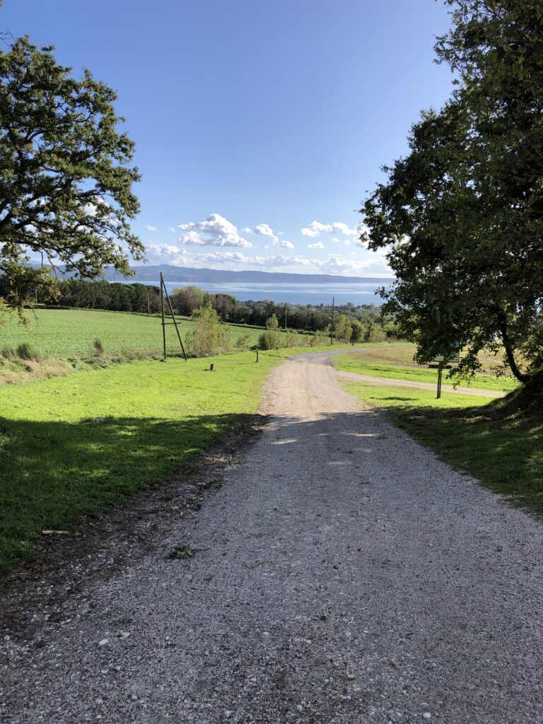
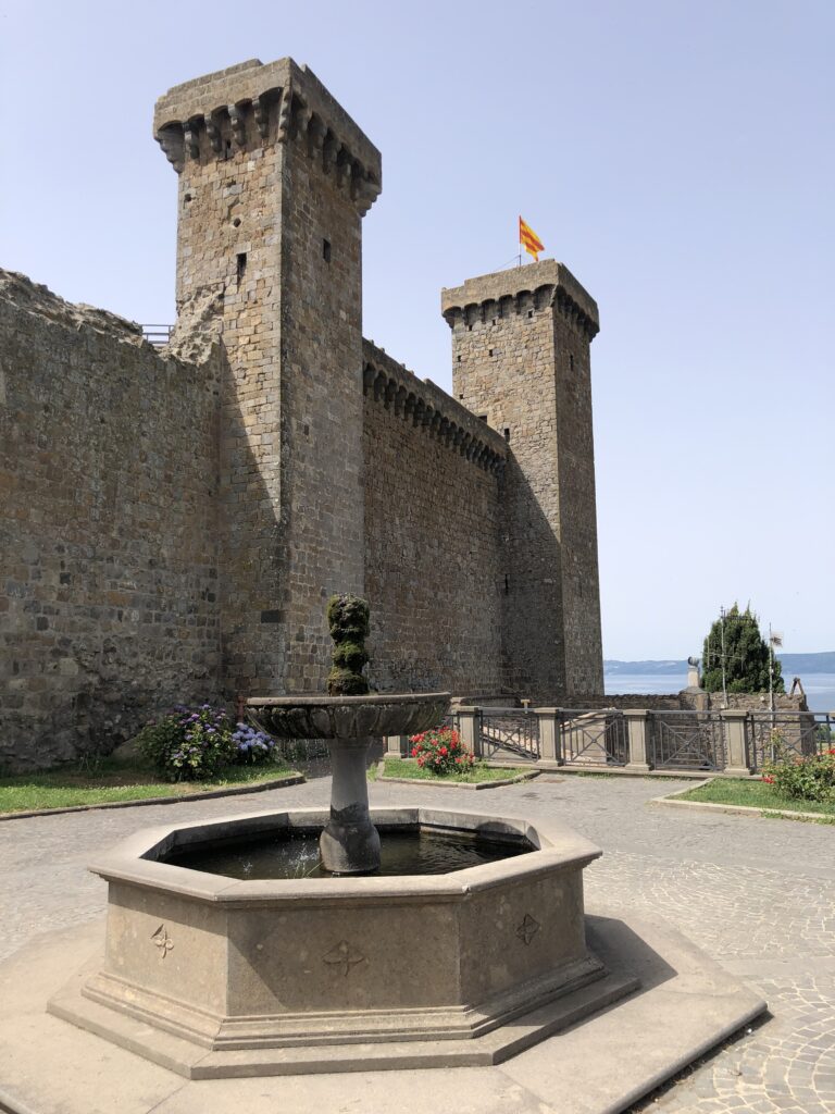
Today you’ll be leaving Tuscany and entering the region of Lazio. The first part of your journey (10 km) has some of the best views and picture opportunities of the entire route. You will get your first glimpses of Lake Bolsena, and you will notice the terrain changing slowly as you enter the region of Lazio. The new “Via Cassio” SS 2 becomes more prominent with some of the trail paralleling the road. The section is 25 km long and should take about 6/7 hrs to complete. It’s a moderate hike as the elevation profile is to your advantage. An ancient volcano, Mount Amiata, now a lava dome about 20 km from Lake Bolsena, will also be visible. Pass through the towns of Ponte a Rigo and Centeno/Proceno before reaching Acquapendente. Ponte a Rigo is very small but has a cafe where you can grab a bite to eat. There is also a variant which splits off the original Via Francigina which adds a few more km’s to your trip but also gets you further from the SS 2. Centeno is also very tiny and is in the Municipality of Proceno. You can find a restaurant or two in Proceno but its a little ways off the Via Francigena. The last few km’s to Acquapendente via the traditional route run along the SS 2 and involve a road walk. The reward for walking along the SS 2 is your arrival in Acquapendente, the largest town you’ve seen for the last several days. Acquapendente loosely translates to “falling waters” and comes from the lakes, streams and falls, in the area. Nicknamed “The Green Jerusalem” Acquapendente has a great deal of historical significance with the key attractions being the San Sepolcro Cathedral which contains a stone stained with blood from the tomb of Christ, the Town Museum, and of course another wonderful castle to visit, the Castle of Torre Alfina. Accommodations and choices of “eats” are plentiful. For a good post hike brew and a slice of pretty good pizza, stop in at Bar Natale located on the corner of the main square (Via Guglielmo Marconi 2).
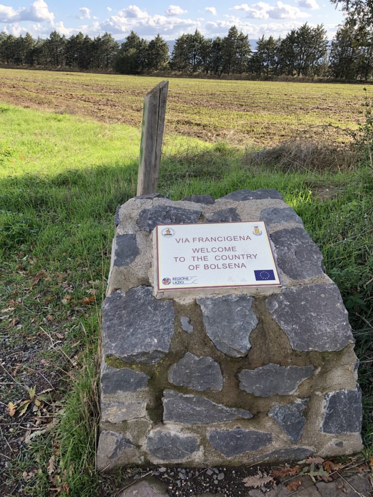
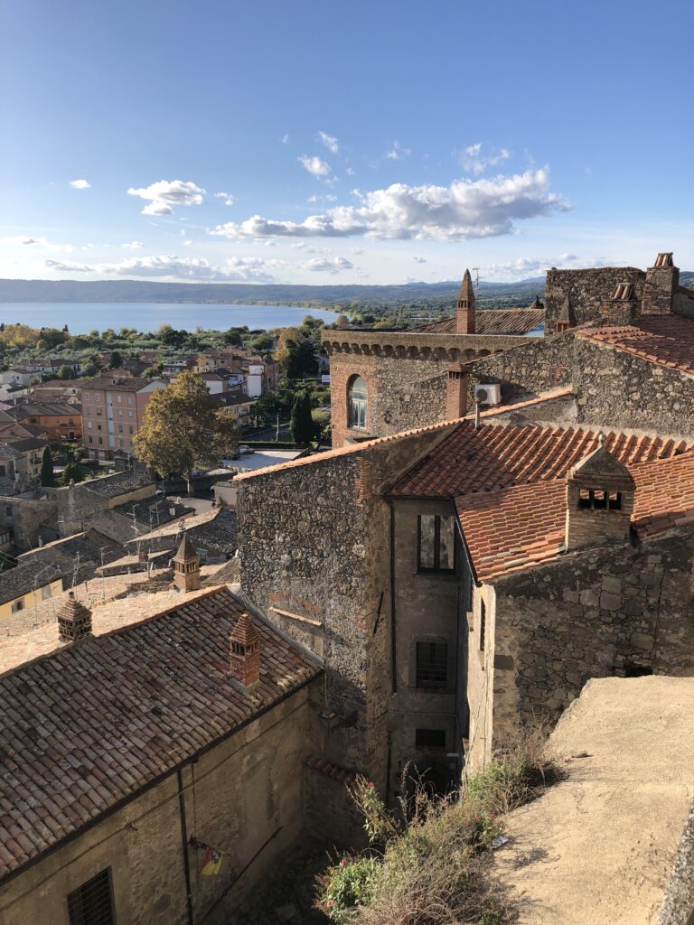
Day 11 Acquapendente to Bolsena (14 miles 5 Hrs Stage 38 on the VF App)
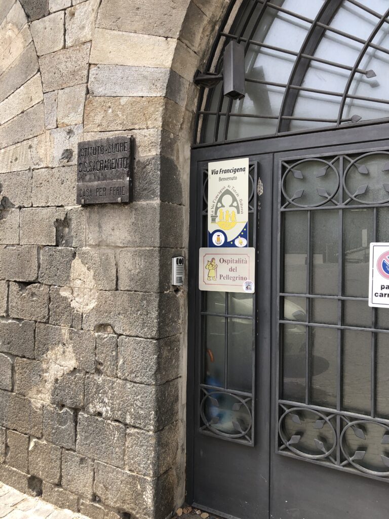
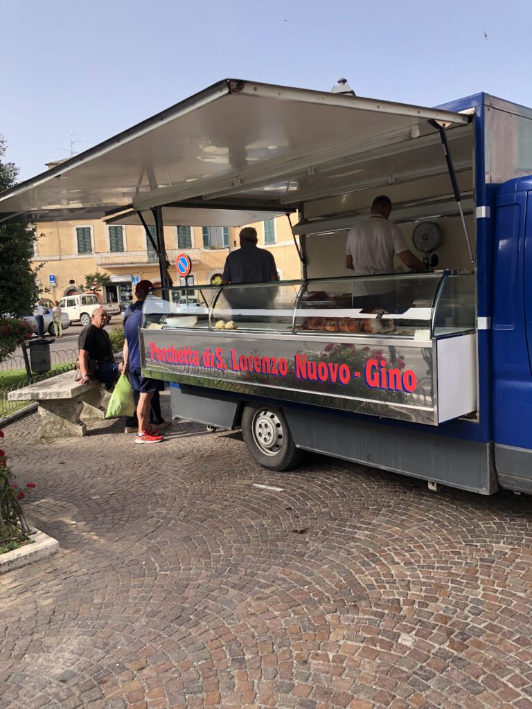
This stage is the first that is contained entirely in the Lazio region and it’s quite varied. The first several km’s are primarily a road walk until the trail takes you South to San Lorenzo Nuovo through miles of meadows and fields. You will be at the highest point of today’s trek when you arrive in the town, and along with glimpses of Lake Bolsena, San Lorenzo Nuovo makes a great place for a lunch break before heading down to Bolsena and the lake. Trattoria Griglieria lo Spuntino (Via de Acquapendente 17) was a great find. Great food, cheap, convenient and run by really nice folks who will give you insights into Bolsena and the surrounding area. Leaving San Lorenzo Nuovo, the remainder of the hike is a pleasant walk via mostly rural roads that run through wooded areas past field of olive trees eventually reaching Bolsena. The five or six hour hike from Acquapendente should leave ample time to take a look around Bolsena, find accommodation if you plan on spending the night, or for hoping the bus out of town if you’re moving on. Bolsena doesn’t have a train station but the buses run on time and have routes to the nearest train station in Montefiascone. Catch the bus at Piazza Marconi which takes about 30 minutes to reach Montefiascone. The travel App “Moovit” seems to be a little better than Google Maps in this area. We stayed at Instituto Suore SS Scaremento for a donation of €20. Great choice, located near restaurants and sights and run by very nice Nuns.
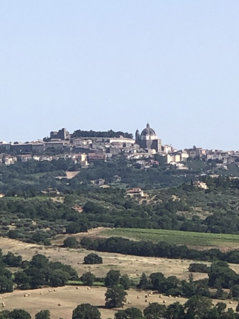
Day 12 Bolsena to Montefiascone (10 miles 4/5 Hrs stage 39 on the VF App)
Easy day today at only 10 miles (16 km). Somewhat of a road walk heading out of Bolsena but the elevation changes of which there are many give you a good workout and opportunity for good pictures of the lake. Lots of olive groves which are typical of the region, and a bit of road walk with some busy traffic along 22 Via Cassia closing in on Montefiascone but also stretches of beautiful off road paths and country roads. Great views of the lake await again in Montefiascone, particularly at its highest elevation (600m) near the center of town and the Basilica of Saint Flavian. Montefiascone is surprising picturesque and is known for its wine and culinary delights. Dishes made with wild boar seem to be every menu and fish from the lake as well. Close to city center, La Bertina was a steal at $60 for two beds and a breakfast. Try Caffe Centrale for a glass of wine or a beer after a day of hiking. Close by is also Ristorante Albergo Dante with quality yet inexpensive food, a roof top dining area with views of the lake and rooms for rent for very reasonable prices (off season).
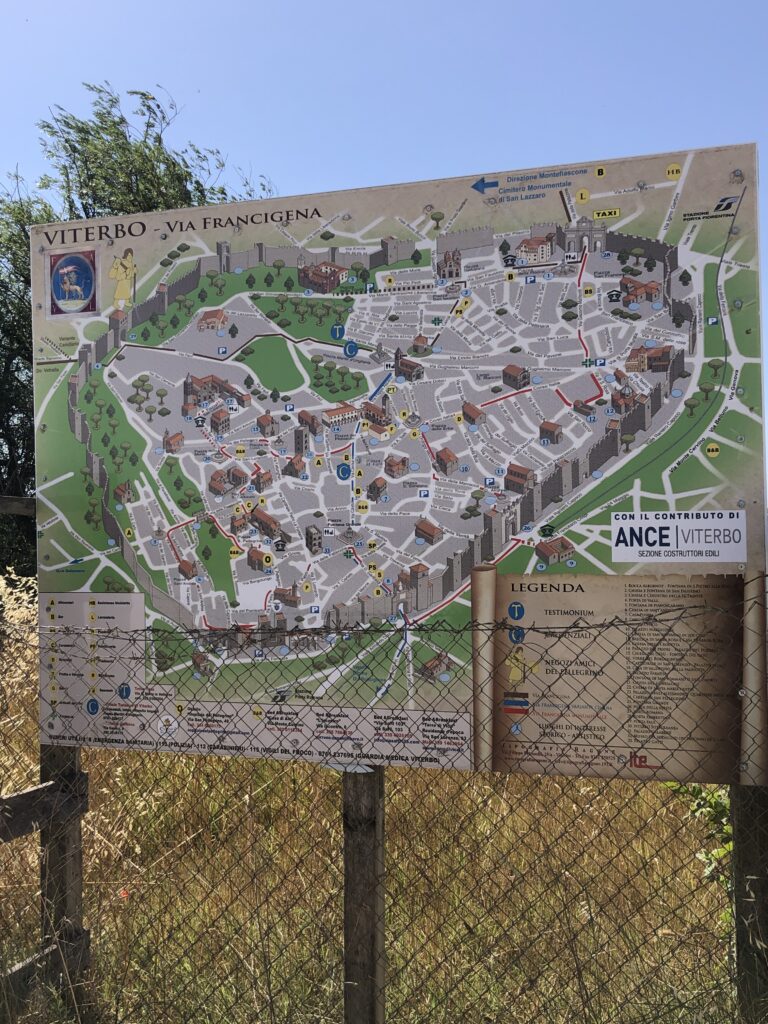
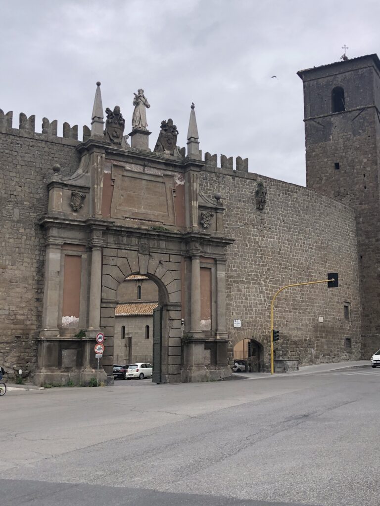
Day 13 Montefiascone to Viterbo (11 miles 4/5 hrs Stage 40 on the VF App)
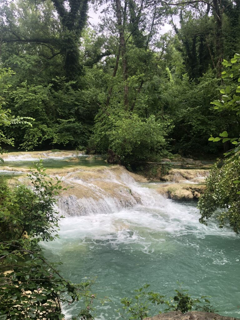
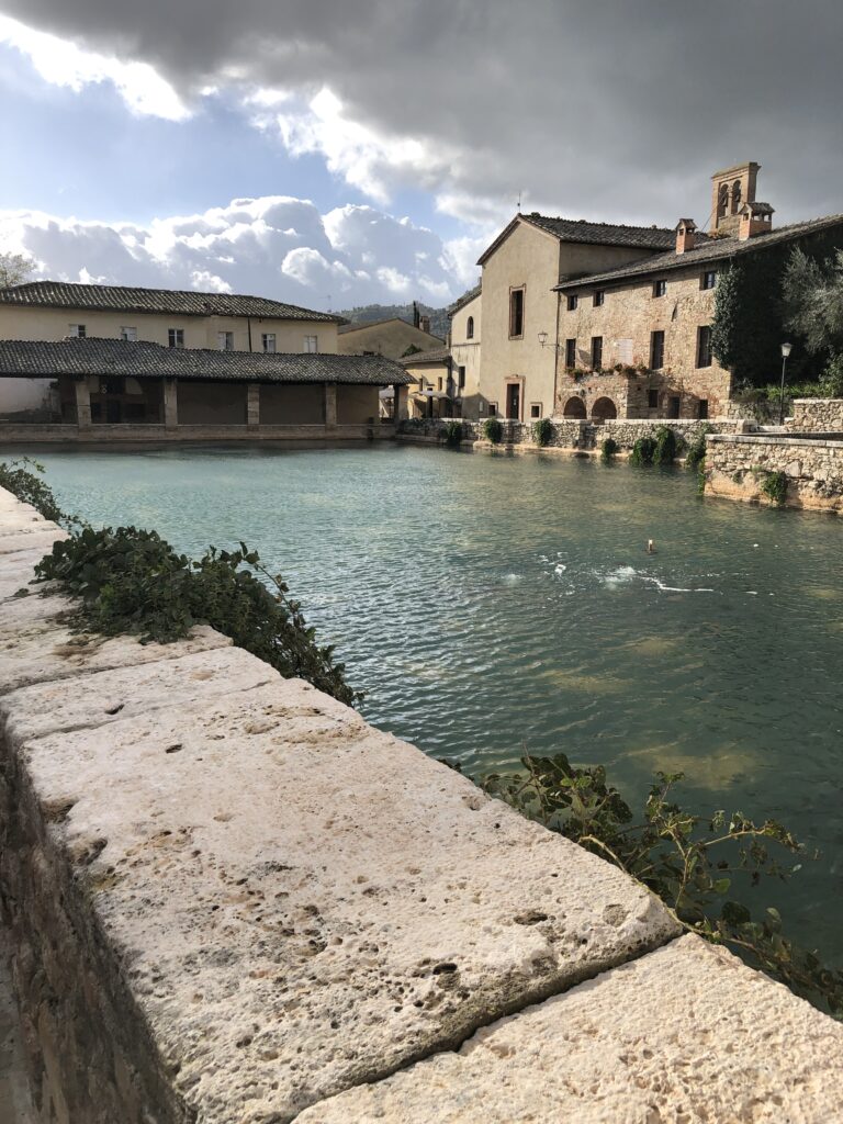
Another rather relaxed hike with a favorable elevation profile. A beautiful walk out of Montefiascone, you’ll find yourself on some of the best preserved pieces of the original route followed by Sigeric. Highlights include picturesque flowered fields and the thermal baths of Bagnaccio which makes for a perfect stop and swim opportunity. Pack a lunch and carry water as there’s not much in the way of food opportunities along the way. The town of Viterbo is one of the larger towns on the route and was a pleasant surprise. The old town is a treat and San Lorenzo Cathedral is worth a visit. If you arrive early or spend some time in town the next day before leaving, strolling the grounds of Via San Pellegrino is a safe bet. We found Nazareth Residence a good value in late June 2024 at $70.00 for two beds. It’s in the town center and very close to the train station (Viterbo Porta Roma) if this is your starting or final destination. Try Beer Shock or Al Settantasette for a good craft beer and a bite to eat.


Day 14 Viterbo to Vetralla (14 miles 5/6 Hrs Stage 41 on the VF App)
Fairly moderate hike today with the ascent out of Viterbo for the first 6 miles being the most difficult piece.Parts of the route today were closed until recently due to logging operations of which there is still evidence. Passing through San Martinho al Cimino is a highlight. A nice little town and a good place to stop for a bite to eat before heading on to Vetralla. You experience some nice paths through the chestnuts along with some asphalt and dirt roads today. Vetralla itself is a small town with adequate amenities and a few good bars and restaurants. A nice flat next to Bar Trattoria Lanterna named Il Refugio Pellegrino was a steal at $50 for two beds (found on Booking.com) in late May 2024. Great pizza at Pinseria 06 with outside seating and good cold beer at the aforementioned bar next door. Vetralla has a very nice Duomo and a Conad supermarket for supplies. Everything thing is a short walk from the accommodation all on Via Roma.
Day 15 Vetralla to Sutri ( 15 miles 6/7 hrs Stage 42 on the VF App)
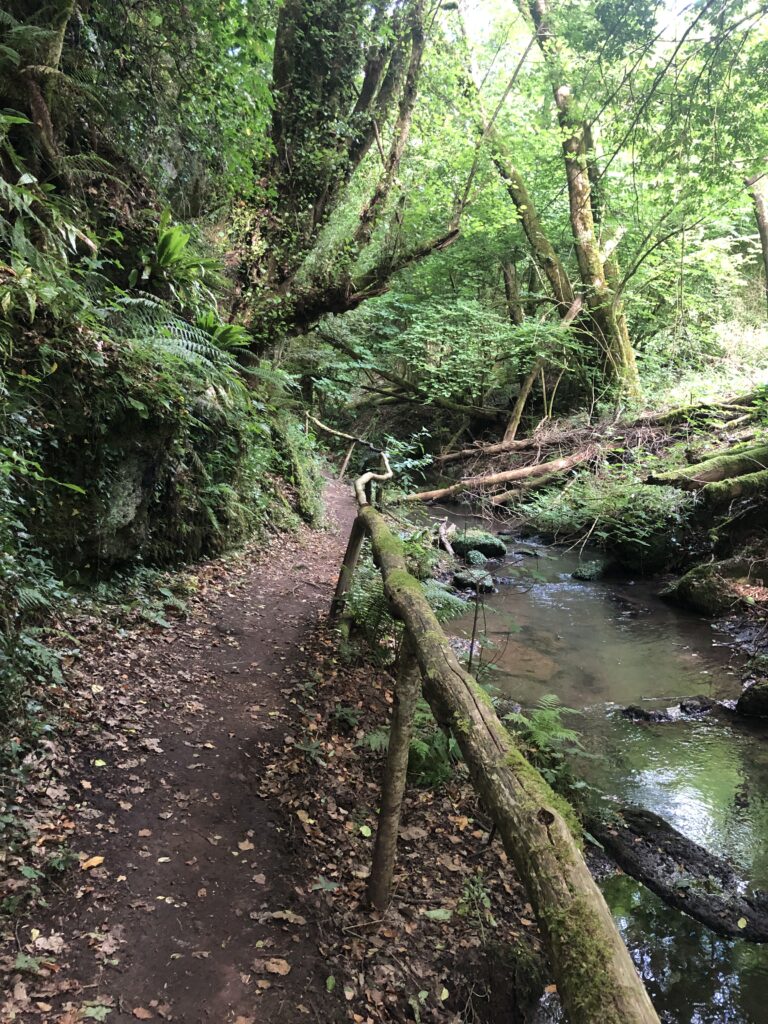
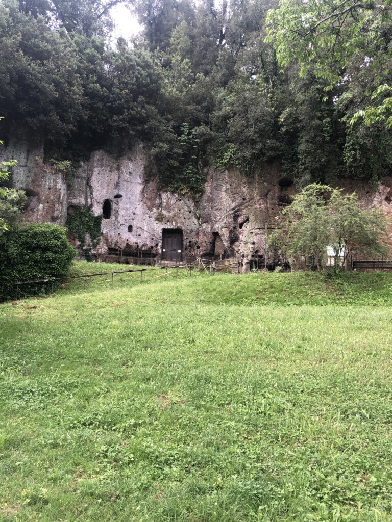
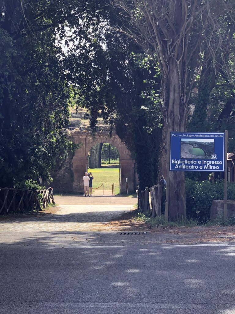
One of the more enjoyable stages and the last really picturesque stage before hitting the outer suburbs of Rome. The stage is 15 miles but the elevation profile is in your favor making the stage a moderate hike. The Via Francigena passes an orchard of Hazelnut trees, through the ruins of an old Monastery, in and out of the picturesque village of Caprinica, along side a slow running stream and up the approach to Sutri itself. The amphitheater, and Park it’s located in, are worth a visit. Capranica is well positioned for a rest, a bite to eat, and refill of water bottles on the way to Sutri. I stayed at Hotel Sutrium for a reasonable rate of $50. The hotel was in the center of town, basic, clean, quiet and close to many restaurants and bars.
Day 16 Sutri to Campagnano (15 Miles 5/6 Hrs Stage 43 on the VF App)
You’re very close to Rome now with only two stages to go. The elevation profile of the trail on this stage makes the hike very moderate with no significant elevation gain until a few miles before Campagnano di Roma.